|
search place name
|
||
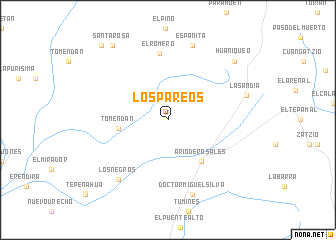
Los Pareos (Michoacán de Ocampo, Mexico)Los Pareos is a town in the Michoacán de Ocampo region of Mexico. An overview map of the region around Los Pareos is displayed below.
regional and 3d topo map of Los Pareos, Mexico ::
Los Pareos airports ::
The nearest airport is UPN - Uruapan Licenciado Y Gen Ignacio Lopez Rayon, located 34.9 km north west of Los Pareos.
Other airports nearby include MLM - Morelia General Francisco J Mujica Intl (101.6 km north east), ZMM - Zamora (104.7 km north west), LZC - Lazard Cardenas Lazaro Cardenas (146.0 km south), ZIH - Ixtapa Zihuatanejo Intl (184.1 km south), Nearby towns ::
Tomendán (5.3km west) //
Ario de Rosales (5.8km south east) //
El Romero (7.5km north) //
Los Negros (8.5km south west) //
Españita (8.7km north) //
Doctor Miguel Silva (8.7km south) //
La Sandía (8.8km east) //
Huaniqueo (9.5km north east) //
Santa Rosa (10.2km north west) //
El Pino (10.9km north west) //
[all distances 'as the bird flies' and approximate] 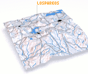 Places with similar names to Los Pareos, Mexico ::
// Lee Cypress (US)
// Los Pérez (PA)
// Los Pérez (PA)
// Los Pérez (PA)
// Los Pérez (PA)
// Los Piros (PA)
// Los Piros (PA)
// Las Parras (CU)
// Las Parras (CU)
// Los Perros (CU)
Disclaimer :: Information on this page comes without warranty of any kind |
||
|
Where is Los Pareos? Elevation and coordinates ::
Latitude (lat): 19°14'30"N Longitude (lon): 101°45'0"W
Elevation (approx.): 1704m (map arrows pan, magnifying glasses zoom) |
||
|
Visiting Los Pareos? Hotel/Accommodation ::
Book a hotel in Los Pareos Travel Guide ::
Buy a travel guide for Mexico rental cars ::
car rental offers GPS waypoint ::
download a GPX waypoint (PoI) of Los Pareos for your GPS receiver
|
||