|
search place name
|
||
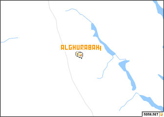
Al Ghurābah (Saudi Arabia)Al Ghurābah is a town in Saudi Arabia. An overview map of the region around Al Ghurābah is displayed below.
regional and 3d topo map of Al Ghurābah, Saudi Arabia ::
Al Ghurābah airports ::
The nearest airport is ELQ - Gassim, located 154.3 km north west of Al Ghurābah.
Other airports nearby include RUH - Riyadh King Khaled Intl (179.9 km east), Nearby towns ::
Al Ghurābah (0.4km north west) //
[all distances 'as the bird flies' and approximate] 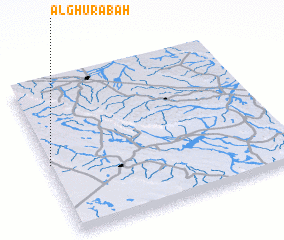 Places with similar names to Al Ghurābah, Saudi Arabia ::
// Al Ghurayyib (EG)
// Al Ghurayyib (EG)
// Al Ghurayyib (EG)
// Alfaribé (NE)
// Al Ghurayb (SD)
// Al Ghuraybah (SD)
// Al Ghurayyibah (TN)
// Al Ghurābah (SA)
// Al Ghraïbi (MA)
// Al Farāb (YE)
Disclaimer :: Information on this page comes without warranty of any kind |
||
|
Where is Al Ghurābah? Elevation and coordinates ::
Latitude (lat): 25°27'48"N Longitude (lon): 45°0'8"E
Elevation (approx.): 768m (map arrows pan, magnifying glasses zoom) |
||
|
Visiting Al Ghurābah? Hotel/Accommodation ::
Book a hotel in Al Ghurābah Travel Guide ::
rental cars ::
car rental offers GPS waypoint ::
download a GPX waypoint (PoI) of Al Ghurābah for your GPS receiver
|
||