|
search place name
|
||
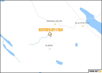
An Nāşirīyah (Saudi Arabia)An Nāşirīyah is a town in Saudi Arabia. An overview map of the region around An Nāşirīyah is displayed below.
regional and 3d topo map of An Nāşirīyah, Saudi Arabia ::
An Nāşirīyah airports ::
The nearest airport is HAS - Hail, located 89.7 km west of An Nāşirīyah.
Other airports nearby include ELQ - Gassim (195.4 km south east), RAH - Rafha (233.9 km north east), Nearby towns ::
Al Qaş‘āʼ (4.5km south) //
Ash Sha‘lānīyah (4.7km north) //
[all distances 'as the bird flies' and approximate] 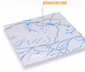 Places with similar names to An Nāşirīyah, Saudi Arabia ::
// An Nāşirīyah (IQ)
// An Naşirīyah (EG)
// An Nāşirīyah (EG)
// An Nāşirīyah (EG)
// An Nāşirīyah (EG)
// An Nāşirīyah (EG)
// An Nāşirīyah (EG)
// An Nāşirīyah (EG)
// An Naşşārīyah (EG)
// An Nāşirīyah (LY)
Disclaimer :: Information on this page comes without warranty of any kind |
||
|
Where is An Nāşirīyah? Elevation and coordinates ::
Latitude (lat): 27°41'8"N Longitude (lon): 42°33'5"E
Elevation (approx.): 736m (map arrows pan, magnifying glasses zoom) |
||
|
Visiting An Nāşirīyah? Hotel/Accommodation ::
Book a hotel in An Nāşirīyah Travel Guide ::
rental cars ::
car rental offers GPS waypoint ::
download a GPX waypoint (PoI) of An Nāşirīyah for your GPS receiver
|
||