|
search place name
|
||
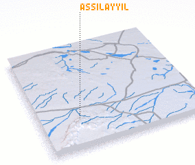
As Silayyil (Saudi Arabia)As Silayyil is a town in Saudi Arabia. An overview map of the region around As Silayyil is displayed below.
regional and 3d topo map of As Silayyil, Saudi Arabia ::

As Silayyil airports ::
The nearest airport is HAS - Hail, located 58.7 km west of As Silayyil.
Other airports nearby include ELQ - Gassim (186.8 km south east), Nearby towns ::
 Places with similar names to As Silayyil, Saudi Arabia ::
// Azulillo (MX)
// As Sulayyil (SA)
// Az̧ Z̧ilāl (SA)
// Aslyyaly (RU)
// Az̧ Z̧alīl (LB)
// Azilal (MA)
// As Salālah (YE)
// As Salīl (YE)
// As Salīl (YE)
// As Salīl (YE)
Disclaimer :: Information on this page comes without warranty of any kind |
||
|
Where is As Silayyil? Elevation and coordinates ::
Latitude (lat): 27°18'0"N Longitude (lon): 42°15'34"E
Elevation (approx.): 901m (map arrows pan, magnifying glasses zoom) |
||
|
Visiting As Silayyil? Hotel/Accommodation ::
Book a hotel in As Silayyil Travel Guide ::
rental cars ::
car rental offers GPS waypoint ::
download a GPX waypoint (PoI) of As Silayyil for your GPS receiver
|
||