|
search place name
|
||
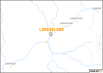
Long Selaan (Sarawak, Malaysia)Long Selaan is a town in the Sarawak region of Malaysia. An overview map of the region around Long Selaan is displayed below.
regional and 3d topo map of Long Selaan, Malaysia ::
Long Selaan airports ::
The nearest airport is MUR - Marudi, located 147.6 km north west of Long Selaan.
Other airports nearby include MYY - Miri (183.3 km north west), LMN - Limbang (190.9 km north), BWN - Brunei Intl (206.5 km north), Nearby towns ::
Long Moh (2.6km south west) //
Long Semiang (6.7km north east) //
[all distances 'as the bird flies' and approximate] 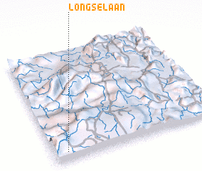
Disclaimer :: Information on this page comes without warranty of any kind |
||
|
Where is Long Selaan? Elevation and coordinates ::
Latitude (lat): 3°5'0"N Longitude (lon): 115°5'0"E
Elevation (approx.): 211m (map arrows pan, magnifying glasses zoom) |
||
|
Visiting Long Selaan? Hotel/Accommodation ::
Book a hotel in Long Selaan Travel Guide ::
Buy a travel guide for Malaysia rental cars ::
car rental offers GPS waypoint ::
download a GPX waypoint (PoI) of Long Selaan for your GPS receiver
|
||