|
search place name
|
||
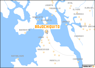
Bajo Chiquito (Darién, Panama)Bajo Chiquito is a town in the Darién region of Panama. An overview map of the region around Bajo Chiquito is displayed below.
regional and 3d topo map of Bajo Chiquito, Panama ::
Bajo Chiquito airports ::
The nearest airport is PTY - Panama City Tocumen Intl, located 155.6 km north west of Bajo Chiquito.
Other airports nearby include PAC - Panama Marcos A Gelabert Intl (167.9 km north west), HOW - Howard (170.0 km west), Nearby towns ::
Bajo Grande (1.3km south) //
La Gloria (1.7km north) //
La Palma (2.2km north) //
Bavo Grande (2.3km south) //
Punta Muñy (2.6km north west) //
Senón (3.3km north) //
Lagúa (3.4km south west) //
Los Algeros (3.6km south) //
Playa Grande (4.0km south west) //
El Encanto (4.3km north) //
Perrecénega (4.7km south) //
Sebolleta (6.7km north west) //
Miraflores (7.2km south) //
Mogocénega (7.3km south) //
Majagualito (7.6km north) //
La Punta (8.2km north east) //
Arizal (8.7km south) //
José Pagantí (9.6km south east) //
[all distances 'as the bird flies' and approximate] 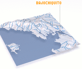 Places with similar names to Bajo Chiquito, Panama ::
// Bajo Chiquito (VE)
Disclaimer :: Information on this page comes without warranty of any kind |
||
|
Where is Bajo Chiquito? Elevation and coordinates ::
Latitude (lat): 8°23'0"N Longitude (lon): 78°9'0"W
Elevation (approx.): 124m (map arrows pan, magnifying glasses zoom) |
||
|
Visiting Bajo Chiquito? Hotel/Accommodation ::
Book a hotel in Bajo Chiquito Travel Guide ::
Buy a travel guide for Panama rental cars ::
car rental offers GPS waypoint ::
download a GPX waypoint (PoI) of Bajo Chiquito for your GPS receiver
|
||