|
search place name
|
||
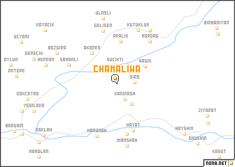
Chama Liwa (Arbīl, Iraq)Chama Liwa is a town in the Arbīl region of Iraq. An overview map of the region around Chama Liwa is displayed below.
regional and 3d topo map of Chama Liwa, Iraq ::
Chama Liwa airports ::
The nearest airport is VAN - Van, located 186.0 km north west of Chama Liwa.
Other airports nearby include TBZ - Tabriz Intl (199.9 km north east), Nearby towns ::
Kāni Rash (2.6km south) //
Sīrō (2.2km east) //
Suçıktı (3.0km north) //
Beğijni (3.2km north) //
Āwbara (3.8km south east) //
Hadni (4.4km north east) //
Akören (5.9km north west) //
Aralık (6.7km north) //
Ḩayāt (7.8km south) //
Girdī (8.2km south) //
Samanlı (6.9km north west) //
Mordağ (7.9km north east) //
Gelişen (8.6km north) //
Hārūnah (8.8km south) //
Kütüklük (9.0km north) //
Karakoç (9.5km north east) //
[all distances 'as the bird flies' and approximate] 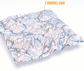 Places with similar names to Chama Liwa, Iraq ::
Disclaimer :: Information on this page comes without warranty of any kind |
||
|
Where is Chama Liwa? Elevation and coordinates ::
Latitude (lat): 37°2'23"N Longitude (lon): 44°26'13"E
Elevation (approx.): 1050m (map arrows pan, magnifying glasses zoom) |
||
|
Visiting Chama Liwa? Hotel/Accommodation ::
Book a hotel in Chama Liwa Travel Guide ::
Buy a travel guide for Iraq rental cars ::
car rental offers GPS waypoint ::
download a GPX waypoint (PoI) of Chama Liwa for your GPS receiver
|
||