|
search place name
|
||
Gēldara (As Sulaymānīyah, Iraq)Gēldara is a town in the As Sulaymānīyah region of Iraq. An overview map of the region around Gēldara is displayed below.
regional and 3d topo map of Gēldara, Iraq ::

Gēldara airports ::
The nearest airport is SDG - Sanandaj, located 125.8 km east of Gēldara.
Other airports nearby include KSH - Bakhtaran Shahid Ashrafi Esfahani (189.3 km south east), Nearby towns ::
Barzinjah (2.6km north east) //
Kāzhāw (3.6km west) //
Shukeh (4.4km north west) //
Mādīāwa (6.0km south) //
Pōshīn (6.0km south west) //
Chināra (6.4km east) //
Kānī Dārkah (7.3km north west) //
Mōryās (8.4km south east) //
Ḩājjī Mimand (9.4km north east) //
[all distances 'as the bird flies' and approximate] 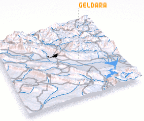 Places with similar names to Gēldara, Iraq ::
// Hjalteyri (IS)
// Geltra (TD)
// Jalotra (IN)
// Jaltara (LK)
// Gelī Dar (IR)
// Gelū Darreh (IR)
// Gīldīr (IR)
// Jalū Darreh (IR)
// Joldar (IR)
// Jolow Dār (IR)
Disclaimer :: Information on this page comes without warranty of any kind |
||
|
Where is Gēldara? Elevation and coordinates ::
Latitude (lat): 35°31'59"N Longitude (lon): 45°40'11"E
Elevation (approx.): 1250m (map arrows pan, magnifying glasses zoom) |
||
|
Visiting Gēldara? Hotel/Accommodation ::
Book a hotel in Gēldara Travel Guide ::
Buy a travel guide for Iraq rental cars ::
car rental offers GPS waypoint ::
download a GPX waypoint (PoI) of Gēldara for your GPS receiver
|
||