|
search place name
|
||
Ghāzī Āl ‘Arūs (Al Qādisīyah, Iraq)Ghāzī Āl ‘Arūs is a town in the Al Qādisīyah region of Iraq. An overview map of the region around Ghāzī Āl ‘Arūs is displayed below.
regional and 3d topo map of Ghāzī Āl ‘Arūs, Iraq ::

Nearby towns ::
Qaryat al Khālid (1.9km north west) //
Qaryat as Suray‘ (2.5km south) //
Al ‘Abţānīyah (3.2km south east) //
Aş Şalāḩīyah (3.9km south east) //
Ash Shāmīyah (4.2km north east) //
Al Wārishīyah (4.7km north) //
Al Ghādūrī (4.7km north west) //
Al Maḩājīr ash Sharqīyah (6.2km west) //
Qaryat al ‘Āfandīyah (7.9km south) //
Sayyid Dāfil al Bādī (8.0km south east) //
Dadham ar Rāshid (8.1km south west) //
Āl Suray‘ (8.8km south east) //
Abū Saddah (9.7km south west) //
[all distances 'as the bird flies' and approximate] 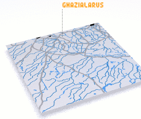
Disclaimer :: Information on this page comes without warranty of any kind |
||
|
Where is Ghāzī Āl ‘Arūs? Elevation and coordinates ::
Latitude (lat): 31°55'47"N Longitude (lon): 44°34'33"E
Elevation (approx.): 24m (map arrows pan, magnifying glasses zoom) |
||
|
Visiting Ghāzī Āl ‘Arūs? Hotel/Accommodation ::
Book a hotel in Ghāzī Āl ‘Arūs Travel Guide ::
Buy a travel guide for Iraq rental cars ::
car rental offers GPS waypoint ::
download a GPX waypoint (PoI) of Ghāzī Āl ‘Arūs for your GPS receiver
|
||