|
search place name
|
||
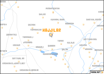
Ḩājjīlar (Diyālá, Iraq)Ḩājjīlar is a town in the Diyālá region of Iraq. An overview map of the region around Ḩājjīlar is displayed below.
regional and 3d topo map of Ḩājjīlar, Iraq ::
Ḩājjīlar airports ::
The nearest airport is SDG - Sanandaj, located 194.1 km north east of Ḩājjīlar.
Nearby towns ::
Kōkuz (1.4km north) //
Tapān (3.6km south east) //
Qubbah (4.4km south) //
Tappah Sarāy (4.5km west) //
Kūkhah Lāwah (5.5km north) //
Hawd ‘Alī (5.9km south west) //
Muḩammad Mūsā (7.4km south) //
‘Abbārah (6.5km north east) //
Qal‘ah (7.1km south east) //
Kulajō (6.6km south east) //
Shilān (7.6km north) //
Gāznak (6.7km north west) //
Tappah Charmī (7.8km south east) //
‘Alwash (8.3km south) //
Tappah ‘Alī (7.1km west) //
Shaytakān (8.9km north) //
Jingābād (7.7km south west) //
Kand Sūr (8.8km south) //
[all distances 'as the bird flies' and approximate] 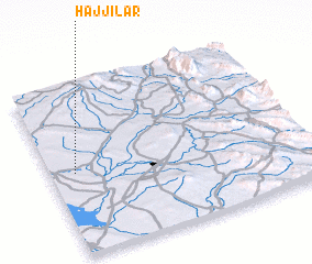 Places with similar names to Ḩājjīlar, Iraq ::
Disclaimer :: Information on this page comes without warranty of any kind |
||
|
Where is Ḩājjīlar? Elevation and coordinates ::
Latitude (lat): 34°29'12"N Longitude (lon): 45°5'48"E
Elevation (approx.): 141m (map arrows pan, magnifying glasses zoom) |
||
|
Visiting Ḩājjīlar? Hotel/Accommodation ::
Book a hotel in Ḩājjīlar Travel Guide ::
Buy a travel guide for Iraq rental cars ::
car rental offers GPS waypoint ::
download a GPX waypoint (PoI) of Ḩājjīlar for your GPS receiver
|
||