|
search place name
|
||
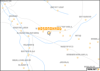
Ḩasan Aḩmad (Diyālá, Iraq)Ḩasan Aḩmad is a town in the Diyālá region of Iraq. An overview map of the region around Ḩasan Aḩmad is displayed below.
regional and 3d topo map of Ḩasan Aḩmad, Iraq ::
Ḩasan Aḩmad airports ::
The nearest airport is SDG - Sanandaj, located 224.4 km north east of Ḩasan Aḩmad.
Nearby towns ::
Sayyid Muḩammad Khalīfah (1.4km north) //
Shaykh Khalīt (2.6km north west) //
Bahīyah (3.3km east) //
Duwij (4.0km east) //
‘Abd Anşīf Khalīl (5.2km north east) //
Muḩammad Sayyid ‘Alī (6.3km east) //
‘Alī Ḩusayn al Munşamid (6.7km west) //
Ḩusayn Fayzī (7.6km south east) //
Majīd Ḩamīd (7.9km south west) //
Bustān Salūjī (9.7km south west) //
‘Arab Duwayj (10.1km south west) //
[all distances 'as the bird flies' and approximate] 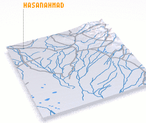 Places with similar names to Ḩasan Aḩmad, Iraq ::
// Hasenmahd (DE)
Disclaimer :: Information on this page comes without warranty of any kind |
||
|
Where is Ḩasan Aḩmad? Elevation and coordinates ::
Latitude (lat): 33°55'38"N Longitude (lon): 45°9'15"E
Elevation (approx.): 55m (map arrows pan, magnifying glasses zoom) |
||
|
Visiting Ḩasan Aḩmad? Hotel/Accommodation ::
Book a hotel in Ḩasan Aḩmad Travel Guide ::
Buy a travel guide for Iraq rental cars ::
car rental offers GPS waypoint ::
download a GPX waypoint (PoI) of Ḩasan Aḩmad for your GPS receiver
|
||