|
search place name
|
||
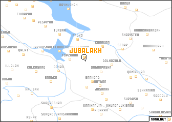
Jubalākh (As Sulaymānīyah, Iraq)Jubalākh is a town in the As Sulaymānīyah region of Iraq. An overview map of the region around Jubalākh is displayed below.
regional and 3d topo map of Jubalākh, Iraq ::
Jubalākh airports ::
The nearest airport is SDG - Sanandaj, located 196.5 km south east of Jubalākh.
Nearby towns ::
Topzāwah (2.9km west) //
Qadam Pasha (3.6km south east) //
Sarmörd (4.7km south) //
Kōrakānī (4.3km north east) //
Palkō (5.0km north) //
Dolmazala (4.6km east) //
Qāmchūghah (5.8km south) //
((Shaykh Ismā‘īl)) Flooded by reservoir (5.1km north west) //
Maydān (6.0km south east) //
Dokan (5.3km south west) //
Jāsanah (7.7km south) //
Turbah (7.5km north west) //
Sēdar (7.0km east) //
Sardka (7.6km south west) //
Gechina (9.1km south east) //
Pēspīyān (10.5km north west) //
[all distances 'as the bird flies' and approximate] 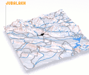 Places with similar names to Jubalākh, Iraq ::
Disclaimer :: Information on this page comes without warranty of any kind |
||
|
Where is Jubalākh? Elevation and coordinates ::
Latitude (lat): 35°56'51"N Longitude (lon): 45°1'6"E
Elevation (approx.): 642m (map arrows pan, magnifying glasses zoom) |
||
|
Visiting Jubalākh? Hotel/Accommodation ::
Book a hotel in Jubalākh Travel Guide ::
Buy a travel guide for Iraq rental cars ::
car rental offers GPS waypoint ::
download a GPX waypoint (PoI) of Jubalākh for your GPS receiver
|
||