|
search place name
|
||
Mākinat ash Shaykh ‘Ajīl (Şalāḩ ad Dīn, Iraq)Mākinat ash Shaykh ‘Ajīl is a town in the Şalāḩ ad Dīn region of Iraq. An overview map of the region around Mākinat ash Shaykh ‘Ajīl is displayed below.
regional and 3d topo map of Mākinat ash Shaykh ‘Ajīl, Iraq ::
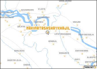
Nearby towns ::
Baldah (2.7km north east) //
‘Arab ‘Ajīl (4.0km south east) //
Bustān Aḩmad al ‘Alī (4.0km north west) //
Ḩasan al Mala (4.3km north) //
Ţuwaybah (4.8km north west) //
Laţīf Yāsīn ‘Abbās (4.8km east) //
Bustān Jāsim (5.8km north) //
‘Abbās al Aḩmad (5.6km north west) //
Qal‘at ‘Alī al Maḩmūd al Qadīmah (5.9km north west) //
Banī Sa‘d (5.7km west) //
Albū Shukur (6.0km east) //
Al Kharjah (6.1km west) //
Madkhal Salmān al Yakhnī (7.6km north) //
Muḩammad al Jāsim (7.2km north west) //
‘Izl-o ‘Iya (9.0km north) //
Sabar (8.3km north west) //
Maḩmūd ar Raḩīm (8.9km north west) //
‘Arab Jāsim (9.7km south east) //
Futūḩī (9.6km north west) //
Aḑ Ḑulū‘īyah (10.3km north west) //
‘Azīz Sāmarrāʼ (10.7km north west) //
[all distances 'as the bird flies' and approximate] 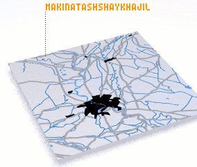 Places with similar names to Mākinat ash Shaykh ‘Ajīl, Iraq :: Disclaimer :: Information on this page comes without warranty of any kind |
||
|
Where is Mākinat ash Shaykh ‘Ajīl? Elevation and coordinates ::
Latitude (lat): 33°59'0"N Longitude (lon): 44°17'0"E
Elevation (approx.): 48m (map arrows pan, magnifying glasses zoom) |
||
|
Visiting Mākinat ash Shaykh ‘Ajīl? Hotel/Accommodation ::
Book a hotel in Mākinat ash Shaykh ‘Ajīl Travel Guide ::
Buy a travel guide for Iraq rental cars ::
car rental offers GPS waypoint ::
download a GPX waypoint (PoI) of Mākinat ash Shaykh ‘Ajīl for your GPS receiver
|
||