|
search place name
|
||
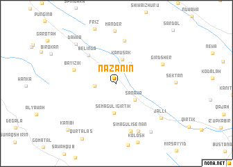
Nāzanīn (Arbīl, Iraq)Nāzanīn is a town in the Arbīl region of Iraq. An overview map of the region around Nāzanīn is displayed below.
regional and 3d topo map of Nāzanīn, Iraq ::
Nāzanīn airports ::
The nearest airport is TBZ - Tabriz Intl, located 259.0 km north east of Nāzanīn.
Nearby towns ::
Sumāqūlī Sērūchāwah (2.9km west) //
Kōlkarash (3.6km north east) //
Kāmūsak (3.9km north) //
Sanāwa (3.6km south east) //
Semāgulī Girtik (4.7km south) //
Bēlīnga (5.8km north west) //
Kuna Felūsa (6.9km north) //
Bāyīzik (5.9km west) //
Simāgulī Sēnan (7.9km south) //
Gird Sher (6.8km north east) //
Mandēr (8.4km north) //
Kurtajar (8.2km south) //
Dawrā (8.2km north west) //
Jallī (8.0km south east) //
Frīz (9.2km north) //
Semāgulī Galī (9.0km south east) //
Qūrtālās (9.9km south west) //
Kānī Bī (9.7km south west) //
[all distances 'as the bird flies' and approximate] 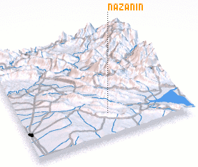
Disclaimer :: Information on this page comes without warranty of any kind |
||
|
Where is Nāzanīn? Elevation and coordinates ::
Latitude (lat): 36°14'19"N Longitude (lon): 44°31'59"E
Elevation (approx.): 845m (map arrows pan, magnifying glasses zoom) |
||
|
Visiting Nāzanīn? Hotel/Accommodation ::
Book a hotel in Nāzanīn Travel Guide ::
Buy a travel guide for Iraq rental cars ::
car rental offers GPS waypoint ::
download a GPX waypoint (PoI) of Nāzanīn for your GPS receiver
|
||