|
search place name
|
||
Tall Ḩalāwah (Arbīl, Iraq)Tall Ḩalāwah is a town in the Arbīl region of Iraq. An overview map of the region around Tall Ḩalāwah is displayed below.
regional and 3d topo map of Tall Ḩalāwah, Iraq ::
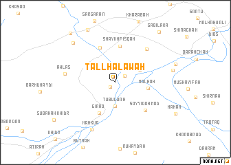
Nearby towns ::
Gazwashan (1.0km south west) //
Qayşūmah (1.6km north east) //
Tubuluah (3.9km south) //
Chard (3.8km north east) //
Malḩah (4.4km east) //
Girao (5.4km south west) //
Shaykh Fisqah (5.9km north) //
Shahal (5.9km north) //
Sayyid Aḩmad (6.0km south east) //
Derkē Kitchka (6.8km north east) //
Awlas (6.8km west) //
Mahkūr (8.3km south) //
Kandal Quţnī (8.5km north west) //
Dāʼūd Gurgah (9.3km north west) //
Sulaymān Bākhshān (9.9km north west) //
Gābilakā (10.1km north east) //
[all distances 'as the bird flies' and approximate] 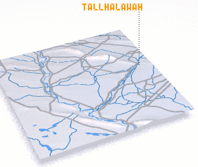 Places with similar names to Tall Ḩalāwah, Iraq ::
// Tall Ḩalāwah (SY)
Disclaimer :: Information on this page comes without warranty of any kind |
||
|
Where is Tall Ḩalāwah? Elevation and coordinates ::
Latitude (lat): 35°36'49"N Longitude (lon): 43°55'37"E
Elevation (approx.): 213m (map arrows pan, magnifying glasses zoom) |
||
|
Visiting Tall Ḩalāwah? Hotel/Accommodation ::
Book a hotel in Tall Ḩalāwah Travel Guide ::
Buy a travel guide for Iraq rental cars ::
car rental offers GPS waypoint ::
download a GPX waypoint (PoI) of Tall Ḩalāwah for your GPS receiver
|
||