|
search place name
|
||
‘Alīābād (Iran)‘Alīābād is a town in Iran. An overview map of the region around ‘Alīābād is displayed below.
regional and 3d topo map of ‘Alīābād, Iran ::

‘Alīābād airports ::
The nearest airport is THR - Teheran Mehrabad Intl, located 156.6 km north east of ‘Alīābād.
Nearby towns ::
Seyyedābād (1.0km south west) //
Garangān (1.7km south) //
Zavārīān (4.8km south) //
Yekehbāgh (4.7km north west) //
Salafchegān (4.7km east) //
Razband (8.2km north) //
‘Enāyat Beyk (6.9km east) //
Dīzījān (8.9km south) //
Bāgh-e Yek (9.5km north) //
Qāzī-ye ‘Olyā (8.6km north east) //
Moḩammad Beyg (9.5km north east) //
Qal‘eh-ye Allāhqolībeyg (10.1km north east) //
[all distances 'as the bird flies' and approximate] 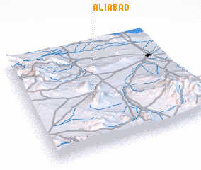 Places with similar names to ‘Alīābād, Iran ::
Disclaimer :: Information on this page comes without warranty of any kind |
||
|
Where is ‘Alīābād? Elevation and coordinates ::
Latitude (lat): 34°29'26"N Longitude (lon): 50°24'25"E
Elevation (approx.): 1514m (map arrows pan, magnifying glasses zoom) |
||
|
Visiting ‘Alīābād? Hotel/Accommodation ::
Book a hotel in ‘Alīābād Travel Guide ::
Buy a travel guide for Iran rental cars ::
car rental offers GPS waypoint ::
download a GPX waypoint (PoI) of ‘Alīābād for your GPS receiver
|
||