|
search place name
|
||
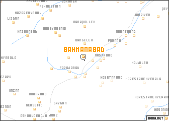
Bahmanābād (Lorestān, Iran)Bahmanābād is a town in the Lorestān region of Iran. An overview map of the region around Bahmanābād is displayed below.
regional and 3d topo map of Bahmanābād, Iran ::
Bahmanābād airports ::
The nearest airport is QMJ - Masjed Soleiman Shahid Asyaee, located 174.5 km south of Bahmanābād.
Nearby towns ::
Khvorzan (1.5km east) //
Deh Now (3.0km south) //
Qal‘eh (2.9km south east) //
Khūrzan (2.9km west) //
‘Aksābād (3.7km south) //
Khār (3.1km east) //
Bargeleh (3.7km north) //
Farajābād (3.6km south west) //
‘Alīābād (4.0km south west) //
Zeynalābād (3.8km north east) //
Naşrābād (3.6km east) //
Reẕāābād (6.1km south east) //
Āshnā Khowr (6.4km south east) //
Bābā Qolleh (7.4km north) //
Ḩoseynābād (6.8km south east) //
Farnaq (6.6km north east) //
Qareh Kahrīz (6.4km west) //
Āqdāsh (7.2km north west) //
Ḩoseynbengī (8.2km north west) //
[all distances 'as the bird flies' and approximate] 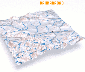 Places with similar names to Bahmanābād, Iran ::
// Bahmanābād (IR)
// Bahmanābād (IR)
// Bahmanābād (IR)
// Bahmanābād (IR)
// Bahmanābād (IR)
// Bahmanābād (IR)
// Bahmanābād (IR)
// Bahmanābād (IR)
// Bahmanābād (IR)
// Bahmanābād (IR)
Disclaimer :: Information on this page comes without warranty of any kind |
||
|
Where is Bahmanābād? Elevation and coordinates ::
Latitude (lat): 33°29'0"N Longitude (lon): 49°54'0"E
Elevation (approx.): 2131m (map arrows pan, magnifying glasses zoom) |
||
|
Visiting Bahmanābād? Hotel/Accommodation ::
Book a hotel in Bahmanābād Travel Guide ::
Buy a travel guide for Iran rental cars ::
car rental offers GPS waypoint ::
download a GPX waypoint (PoI) of Bahmanābād for your GPS receiver
|
||