|
search place name
|
||
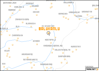
Balūkānlū (Ardabīl, Iran)Balūkānlū is a town in the Ardabīl region of Iran. An overview map of the region around Balūkānlū is displayed below.
regional and 3d topo map of Balūkānlū, Iran ::
Balūkānlū airports ::
The nearest airport is RAS - Rasht, located 111.3 km south east of Balūkānlū.
Nearby towns ::
Ūjeghāz-e Soflá (1.8km south east) //
Mīlāghārdān (2.4km north) //
Moşţafálū (2.7km south) //
Bolūkānlū (3.1km north east) //
Khodāqolī Qeshlāq (5.2km south) //
Pīrānlū (4.7km north west) //
Ūchqāz (5.0km south west) //
Īlvānaq (6.5km south) //
Alankesh (6.5km north west) //
Kalestān-e ‘Olyā (7.7km south east) //
Ārpā Chā'ī (8.2km north east) //
Namāhūnī (8.2km north east) //
Vechīn (8.6km north west) //
Selahyūrdī (8.4km north east) //
Kalestān-e Soflá (9.2km south east) //
Havāshānq (10.6km south west) //
[all distances 'as the bird flies' and approximate] 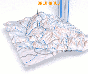 Places with similar names to Balūkānlū, Iran ::
// Bolūkānlū (IR)
// Blacknel (US)
// Bolognola (IT)
// Ballyconnell (IE)
// Ballyconneely (IE)
// Baile Conaola (IE)
// Ballyconnell (IE)
Disclaimer :: Information on this page comes without warranty of any kind |
||
|
Where is Balūkānlū? Elevation and coordinates ::
Latitude (lat): 37°47'34"N Longitude (lon): 48°29'29"E
Elevation (approx.): 2075m (map arrows pan, magnifying glasses zoom) |
||
|
Visiting Balūkānlū? Hotel/Accommodation ::
Book a hotel in Balūkānlū Travel Guide ::
Buy a travel guide for Iran rental cars ::
car rental offers GPS waypoint ::
download a GPX waypoint (PoI) of Balūkānlū for your GPS receiver
|
||