|
search place name
|
||
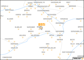
Bānī (Ostān-e Āz̄arbāyjān-e Gharbī, Iran)Bānī is a town in the Ostān-e Āz̄arbāyjān-e Gharbī region of Iran. An overview map of the region around Bānī is displayed below.
regional and 3d topo map of Bānī, Iran ::
Bānī airports ::
The nearest airport is TBZ - Tabriz Intl, located 143.9 km north east of Bānī.
Other airports nearby include VAN - Van (153.8 km north west), Nearby towns ::
Bīqūz (1.0km west) //
Kūrteh Kavīl (1.8km south west) //
Shahr-e Vīrān (1.8km south west) //
Pesān (2.5km south east) //
Kalān Kānī (4.1km south west) //
Kānī Shūrīk (4.5km north east) //
Sūrehbān (3.9km west) //
Başrīk (4.2km west) //
Arzīn (4.8km south east) //
Majrūseh (5.3km north east) //
Darband (6.2km north) //
Malūneh (7.0km north) //
Tāzeh Kand (6.8km north east) //
Ḩakī (7.3km south) //
Āshīk (7.3km south) //
Eskandarābād (7.8km north) //
Kūrāneh (7.1km south east) //
Karīmābād (6.5km east) //
Āsīngarān (6.7km east) //
Neychalān (7.4km north east) //
Dobreh (7.2km south east) //
Khāneqāh (8.9km south) //
Haftsārān (8.0km north west) //
Gol-e Sheykhān (8.0km north west) //
Hārūlān (9.1km south) //
Dūstālān (9.1km south) //
Halānīk (7.6km south west) //
Mavānā (8.2km south east) //
Bālowlān (9.5km south) //
[all distances 'as the bird flies' and approximate] 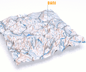 Places with similar names to Bānī, Iran ::
Disclaimer :: Information on this page comes without warranty of any kind |
||
|
Where is Bānī? Elevation and coordinates ::
Latitude (lat): 37°37'48"N Longitude (lon): 44°43'40"E
Elevation (approx.): 1972m (map arrows pan, magnifying glasses zoom) |
||
|
Visiting Bānī? Hotel/Accommodation ::
Book a hotel in Bānī Travel Guide ::
Buy a travel guide for Iran rental cars ::
car rental offers GPS waypoint ::
download a GPX waypoint (PoI) of Bānī for your GPS receiver
|
||