|
search place name
|
||
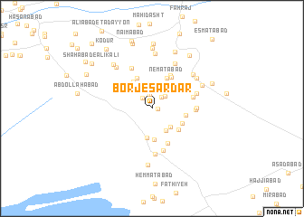
Borj-e Sardār (Kermān, Iran)Borj-e Sardār is a town in the Kermān region of Iran. An overview map of the region around Borj-e Sardār is displayed below.
regional and 3d topo map of Borj-e Sardār, Iran ::
Borj-e Sardār airports ::
The nearest airport is KER - Kerman, located 242.5 km north west of Borj-e Sardār.
Nearby towns ::
Yūsefābād-e Bālā (0.6km east) //
Raḩmatābād (1.7km north) //
‘Abbāsīyeh (1.6km north west) //
Fatḩābād (1.8km north east) //
Vaḩīdābād (2.1km north east) //
Ḩasanābād (3.2km south east) //
Hāshemābād (3.1km south east) //
Borj-e Akram (3.6km south) //
Dashtūʼīyeh (3.8km south) //
Ḩoseynābād-e Vakīl (3.9km north west) //
Ja‘farābād (3.7km south east) //
Kārīz-e Ḩoseyn (4.0km north west) //
Ne‘matābād (4.0km north east) //
Rīgābād (3.7km east) //
Mobārakābād (3.9km south east) //
Borj-e Akram (4.0km north east) //
Zeydābād (4.4km north east) //
Ahābād (4.5km north east) //
Ḩoseynābād-e Behzādī (4.6km south) //
Akbarābād (4.7km east) //
Mehdīābād (5.3km south) //
Deh Now-e Mīrzā Zādeh (4.7km east) //
Mīrābād (5.4km north west) //
Sarnag (4.9km east) //
Yūsefābād-e Pāʼīn (5.7km south) //
Zamānābād (5.2km east) //
Moḩammadābād (6.1km north east) //
Jahānābād-e Bālā (6.1km north east) //
Akbarābād (6.3km north west) //
[all distances 'as the bird flies' and approximate] 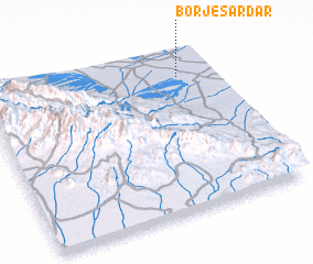 Places with similar names to Borj-e Sardār, Iran :: Disclaimer :: Information on this page comes without warranty of any kind |
||
|
Where is Borj-e Sardār? Elevation and coordinates ::
Latitude (lat): 28°51'0"N Longitude (lon): 58°51'0"E
Elevation (approx.): 727m (map arrows pan, magnifying glasses zoom) |
||
|
Visiting Borj-e Sardār? Hotel/Accommodation ::
Book a hotel in Borj-e Sardār Travel Guide ::
Buy a travel guide for Iran rental cars ::
car rental offers GPS waypoint ::
download a GPX waypoint (PoI) of Borj-e Sardār for your GPS receiver
|
||