|
search place name
|
||
Būrā Chālū (Ostān-e Āz̄arbāyjān-e Gharbī, Iran)Būrā Chālū is a town in the Ostān-e Āz̄arbāyjān-e Gharbī region of Iran. An overview map of the region around Būrā Chālū is displayed below.
regional and 3d topo map of Būrā Chālū, Iran ::

Būrā Chālū airports ::
The nearest airport is TBZ - Tabriz Intl, located 69.6 km east of Būrā Chālū.
Nearby towns ::
Teymūrlū (0.9km north west) //
Qebjāq (2.1km east) //
Sargānī (5.5km south) //
‘Asgarābād (5.2km east) //
Tūrīūn (5.2km east) //
Kharālī (6.6km east) //
Bahrāmābād (7.3km south east) //
Qezel Qayeh (9.1km south) //
Gūzī Dāgh (8.6km south east) //
[all distances 'as the bird flies' and approximate] 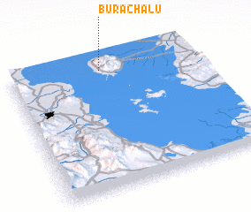 Places with similar names to Būrā Chālū, Iran ::
// Bouir Chleh (MA)
// Brecholey (CH)
// Barchel (DE)
// Borchel (DE)
// Bracial (PT)
// Bīrīshūl (IR)
// Brush Hollow (US)
// Berch Hole (US)
// Brush Hill (US)
// Bara Chāla (BD)
Disclaimer :: Information on this page comes without warranty of any kind |
||
|
Where is Būrā Chālū? Elevation and coordinates ::
Latitude (lat): 37°54'46"N Longitude (lon): 45°29'34"E
Elevation (approx.): 1449m (map arrows pan, magnifying glasses zoom) |
||
|
Visiting Būrā Chālū? Hotel/Accommodation ::
Book a hotel in Būrā Chālū Travel Guide ::
Buy a travel guide for Iran rental cars ::
car rental offers GPS waypoint ::
download a GPX waypoint (PoI) of Būrā Chālū for your GPS receiver
|
||