|
search place name
|
||
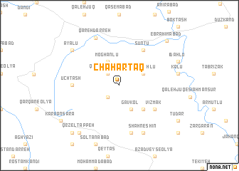
Chahār Ţāq (Iran)Chahār Ţāq is a town in Iran. An overview map of the region around Chahār Ţāq is displayed below.
regional and 3d topo map of Chahār Ţāq, Iran ::
Chahār Ţāq airports ::
The nearest airport is SDG - Sanandaj, located 147.8 km south west of Chahār Ţāq.
Other airports nearby include RAS - Rasht (192.8 km north east), TBZ - Tabriz Intl (231.7 km north west), Nearby towns ::
Maḩmūdābād (2.4km south west) //
Qal‘eh Qeshlāq (2.4km north west) //
Gāvkol (4.0km south) //
Khvājehlū (3.5km north east) //
Moghānlū (4.0km north) //
Ūchdāsh (4.8km south east) //
Sūntū (6.3km north east) //
Vīzmak (5.8km south east) //
Seventū (6.3km north east) //
Ūchtāsh (6.0km west) //
Eslāmābād (7.6km south) //
Shāhneshīn (8.0km south) //
Qareh Darreh (8.0km north) //
Ayālū (8.2km north west) //
Qezel Tappeh (9.0km south west) //
Ebrāhīmābād (9.2km north east) //
Moḩammad Jān (9.5km south west) //
[all distances 'as the bird flies' and approximate] 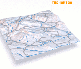 Places with similar names to Chahār Ţāq, Iran ::
// Chahār Ţāq (IR)
// Chahār Ţāq (IR)
// Chahār Ţāq (IR)
// Chahār Ţāq (IR)
// Chahār Ţāq (IR)
// Chahār Ţāq (IR)
// Chahār Ţāq (IR)
// Chahār Ţāq (IR)
// Chahār Ţāq (IR)
// Chahār Ţāq (IR)
Disclaimer :: Information on this page comes without warranty of any kind |
||
|
Where is Chahār Ţāq? Elevation and coordinates ::
Latitude (lat): 36°26'0"N Longitude (lon): 47°45'0"E
Elevation (approx.): 1857m (map arrows pan, magnifying glasses zoom) |
||
|
Visiting Chahār Ţāq? Hotel/Accommodation ::
Book a hotel in Chahār Ţāq Travel Guide ::
Buy a travel guide for Iran rental cars ::
car rental offers GPS waypoint ::
download a GPX waypoint (PoI) of Chahār Ţāq for your GPS receiver
|
||