|
search place name
|
||
Dag Fan (Kermān, Iran)Dag Fan is a town in the Kermān region of Iran. An overview map of the region around Dag Fan is displayed below.
regional and 3d topo map of Dag Fan, Iran ::

Dag Fan airports ::
The nearest airport is KER - Kerman, located 130.6 km north west of Dag Fan.
Nearby towns ::
Dugāchi (0.1km north) //
Tahrūd (1.7km north east) //
Parmanū (2.0km north) //
Sādābād-e Pāʼīn (2.0km north) //
Chū Chūn (1.9km north west) //
Dak (2.3km south west) //
Akhcheh (2.5km north east) //
Sa‘dābād (4.3km north east) //
Maḩmūdābād (4.2km north east) //
Shamsīābād (4.9km north) //
Khāneh Khātūn (5.5km north) //
Negūr (6.4km north) //
Sabzūʼīyeh (6.7km north west) //
Pābaneh (8.5km north west) //
Ḩoseynābād-e ‘Āmertebeh (9.4km south east) //
Qal‘eh-ye Esfandīār (9.8km south east) //
[all distances 'as the bird flies' and approximate] 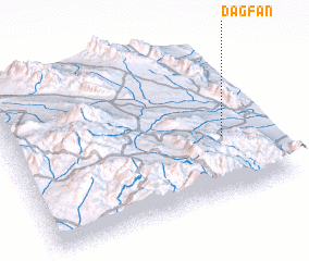 Places with similar names to Dag Fan, Iran ::
Disclaimer :: Information on this page comes without warranty of any kind |
||
|
Where is Dag Fan? Elevation and coordinates ::
Latitude (lat): 29°22'56"N Longitude (lon): 57°49'59"E
Elevation (approx.): 1784m (map arrows pan, magnifying glasses zoom) |
||
|
Visiting Dag Fan? Hotel/Accommodation ::
Book a hotel in Dag Fan Travel Guide ::
Buy a travel guide for Iran rental cars ::
car rental offers GPS waypoint ::
download a GPX waypoint (PoI) of Dag Fan for your GPS receiver
|
||