|
search place name
|
||
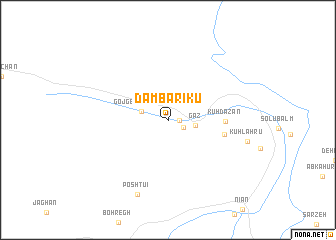
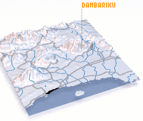
Dam Bārīkū (Hormozgān, Iran)Dam Bārīkū is a town in the Hormozgān region of Iran. An overview map of the region around Dam Bārīkū is displayed below.
regional and 3d topo map of Dam Bārīkū, Iran ::
Dam Bārīkū airports ::
The nearest airport is BND - Bandar Abbass Intl, located 59.7 km south west of Dam Bārīkū.
Other airports nearby include KHS - Khasab (170.5 km south), BDH - Bandar Lengeh (227.4 km south west), Nearby towns ::
 Places with similar names to Dam Bārīkū, Iran ::
Disclaimer :: Information on this page comes without warranty of any kind |
||
|
Where is Dam Bārīkū? Elevation and coordinates ::
Latitude (lat): 27°38'19"N Longitude (lon): 56°45'20"E
Elevation (approx.): 363m (map arrows pan, magnifying glasses zoom) |
||
|
Visiting Dam Bārīkū? Hotel/Accommodation ::
Book a hotel in Dam Bārīkū Travel Guide ::
Buy a travel guide for Iran rental cars ::
car rental offers GPS waypoint ::
download a GPX waypoint (PoI) of Dam Bārīkū for your GPS receiver
|
||