|
search place name
|
||
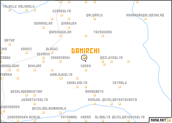
Damīrchī (Ostān-e Āz̄arbāyjān-e Sharqī, Iran)Damīrchī is a town in the Ostān-e Āz̄arbāyjān-e Sharqī region of Iran. An overview map of the region around Damīrchī is displayed below.
regional and 3d topo map of Damīrchī, Iran ::
Damīrchī airports ::
The nearest airport is TBZ - Tabriz Intl, located 151.5 km north of Damīrchī.
Other airports nearby include SDG - Sanandaj (176.8 km south), Nearby towns ::
Kūseh (1.9km south) //
Qozlū-ye Soflá (3.0km east) //
Chapū (3.3km east) //
Āshtī Bolāgh (4.0km south) //
Qareh Qīyeh (5.6km south) //
Qozlū-ye ‘Olyā (4.5km east) //
Leylakābād (5.6km north) //
Z̧āher Kandī (4.5km west) //
Kahel-e ‘Olyā (5.8km south) //
Khalaj-e ‘Olyā (5.7km south west) //
Tāzeh Kand (6.3km north east) //
Maqbūl (5.8km south west) //
Ālāgūz (6.2km west) //
Reẕā Qeshlāq (6.2km west) //
Aḩmad Beyk (7.6km south) //
Qareh Ūghlān (7.1km north west) //
Qīnarjeh (8.0km north) //
Zeynālū (8.1km south east) //
[all distances 'as the bird flies' and approximate] 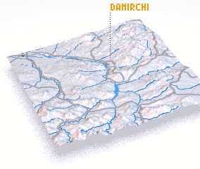 Places with similar names to Damīrchī, Iran ::
Disclaimer :: Information on this page comes without warranty of any kind |
||
|
Where is Damīrchī? Elevation and coordinates ::
Latitude (lat): 36°49'0"N Longitude (lon): 46°41'0"E
Elevation (approx.): 2020m (map arrows pan, magnifying glasses zoom) |
||
|
Visiting Damīrchī? Hotel/Accommodation ::
Book a hotel in Damīrchī Travel Guide ::
Buy a travel guide for Iran rental cars ::
car rental offers GPS waypoint ::
download a GPX waypoint (PoI) of Damīrchī for your GPS receiver
|
||