|
search place name
|
||
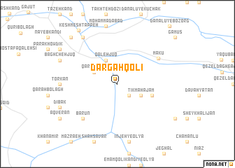
Dargāhqolī (Ostān-e Āz̄arbāyjān-e Gharbī, Iran)Dargāhqolī is a town in the Ostān-e Āz̄arbāyjān-e Gharbī region of Iran. An overview map of the region around Dargāhqolī is displayed below.
regional and 3d topo map of Dargāhqolī, Iran ::
Dargāhqolī airports ::
The nearest airport is VAN - Van, located 133.4 km south west of Dargāhqolī.
Other airports nearby include TBZ - Tabriz Intl (195.3 km south east), Nearby towns ::
Jān ‘Azīz (2.3km south east) //
Tīkmah ‘Ajam (3.4km south east) //
Qareh Khāj (3.4km north west) //
Qal‘eh Jūq (4.0km north) //
Kārvān Qorān (4.7km south east) //
Mākū (6.5km north east) //
Bārūn (7.0km south west) //
Shāţer (8.6km north west) //
Sangar (9.4km north west) //
Keshmesh Tappeh (9.8km north west) //
[all distances 'as the bird flies' and approximate] 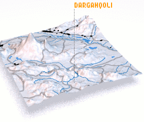 Places with similar names to Dargāhqolī, Iran ::
// Turcocala (BO)
// Türkoğlu (TR)
// Türkoğlu (TR)
// Targagala (TD)
// Dargāh Kili (PK)
// Dargai Kili (PK)
// Derakai Kili (PK)
// Targ Kili (PK)
// Tarkakolʼ (KZ)
Disclaimer :: Information on this page comes without warranty of any kind |
||
|
Where is Dargāhqolī? Elevation and coordinates ::
Latitude (lat): 39°15'0"N Longitude (lon): 44°30'0"E
Elevation (approx.): 1733m (map arrows pan, magnifying glasses zoom) |
||
|
Visiting Dargāhqolī? Hotel/Accommodation ::
Book a hotel in Dargāhqolī Travel Guide ::
Buy a travel guide for Iran rental cars ::
car rental offers GPS waypoint ::
download a GPX waypoint (PoI) of Dargāhqolī for your GPS receiver
|
||