|
search place name
|
||
Darūngar (Khorāsān, Iran)Darūngar is a town in the Khorāsān region of Iran. An overview map of the region around Darūngar is displayed below.
regional and 3d topo map of Darūngar, Iran ::

Darūngar airports ::
The nearest airport is ASB - Ashkhabad Ashgabat, located 47.6 km north west of Darūngar.
Nearby towns ::
Moḩammad Taqī Beyg (0.6km east) //
Ḩalqeh (1.9km south) //
Ḩājj Qelīch Khān (1.5km east) //
Raḩmānqolī (1.7km north east) //
Gadūgānlū (1.8km north east) //
Aḩmadābād (2.4km south west) //
Bahādorkhān (2.4km north east) //
Ḩasan Kadkhodā (3.1km north east) //
Chenār (4.8km north east) //
Dūst Moḩammad Beyg (6.4km north west) //
‘Alīābād (7.1km south west) //
Āmān Margān (7.8km north west) //
Arbāb (8.6km north west) //
Jabbār (8.6km north west) //
Moḩammad Valī Beyg (9.0km north west) //
‘Avaẕ Moḩammad Beyg (10.1km north west) //
[all distances 'as the bird flies' and approximate] 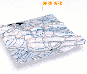 Places with similar names to Darūngar, Iran ::
// Tranquerah (MY)
// Tierra Negra (PA)
// Tarnogóra (PL)
// Tarnogóra (PL)
// Tranquera (CU)
// Drinker (US)
// Dārunkara (BD)
// Tārānagar (BD)
// Tārānagar (BD)
// Drouon Gourou (BJ)
Disclaimer :: Information on this page comes without warranty of any kind |
||
|
Where is Darūngar? Elevation and coordinates ::
Latitude (lat): 37°37'0"N Longitude (lon): 58°38'0"E
Elevation (approx.): 1031m (map arrows pan, magnifying glasses zoom) |
||
|
Visiting Darūngar? Hotel/Accommodation ::
Book a hotel in Darūngar Travel Guide ::
Buy a travel guide for Iran rental cars ::
car rental offers GPS waypoint ::
download a GPX waypoint (PoI) of Darūngar for your GPS receiver
|
||