|
search place name
|
||
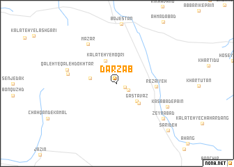
Darz Āb (Khorāsān, Iran)Darz Āb is a town in the Khorāsān region of Iran. An overview map of the region around Darz Āb is displayed below.
regional and 3d topo map of Darz Āb, Iran ::
Darz Āb airports ::
The nearest airport is XBJ - Birjand, located 198.5 km south east of Darz Āb.
Nearby towns ::
Borjak (1.2km south east) //
Rū Sang (1.8km south east) //
Kalāteh-ye Dar Chāq (2.8km north west) //
Kalāteh-ye Moqrī (3.9km north) //
Gastavāz (3.9km south east) //
Kalāteh-ye Sheyţān (3.6km west) //
Sheshtūk (4.3km south east) //
Reẕā'īyeh (5.3km east) //
Mazār (7.4km north west) //
Chetārān (6.7km west) //
Qal‘eh-ye Qal‘eh Dokhtar (6.9km west) //
Kasābād-e Pā'īn (7.6km south east) //
Zeynābād (8.3km south east) //
Sarīdeh (10.1km south east) //
[all distances 'as the bird flies' and approximate] 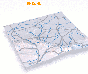 Places with similar names to Darz Āb, Iran ::
Disclaimer :: Information on this page comes without warranty of any kind |
||
|
Where is Darz Āb? Elevation and coordinates ::
Latitude (lat): 34°26'2"N Longitude (lon): 58°9'59"E
Elevation (approx.): 1551m (map arrows pan, magnifying glasses zoom) |
||
|
Visiting Darz Āb? Hotel/Accommodation ::
Book a hotel in Darz Āb Travel Guide ::
Buy a travel guide for Iran rental cars ::
car rental offers GPS waypoint ::
download a GPX waypoint (PoI) of Darz Āb for your GPS receiver
|
||