|
search place name
|
||
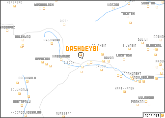
Dāsh Deybī (Gīlān, Iran)Dāsh Deybī is a town in the Gīlān region of Iran. An overview map of the region around Dāsh Deybī is displayed below.
regional and 3d topo map of Dāsh Deybī, Iran ::
Dāsh Deybī airports ::
The nearest airport is RAS - Rasht, located 105.6 km south east of Dāsh Deybī.
Nearby towns ::
Ḩasan Dāyer Mānī (1.6km south east) //
Maryān (1.9km south) //
Kandeh Beyn (1.9km south east) //
Ţūl (3.1km south) //
Dīzgāh (2.9km south west) //
Dīglī (3.3km north east) //
Tan Dabīn (3.4km north east) //
Qal‘eh Bīn (3.7km north east) //
Makash (3.7km east) //
Kabūd Mehr (3.8km west) //
Āqevlar (3.9km east) //
Gāvdūl (4.3km south east) //
Nāvān (4.8km east) //
Selahyūrdī (6.0km west) //
Ḩājjīābād (6.5km north west) //
Namāhūnī (6.6km west) //
Dīzeh (8.4km north west) //
Sīnah Hūnī (7.5km south east) //
Shīlah Vesht (8.0km south east) //
[all distances 'as the bird flies' and approximate] 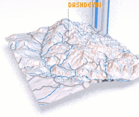 Places with similar names to Dāsh Deybī, Iran ::
// Dāshdībī (IR)
// Dasht Āb (IR)
// Dashtāb (IR)
// Dasht-e Ābī (IR)
// Doāi Chaitāba (BD)
// Tyshtebay (KZ)
// Tashtebe (KG)
Disclaimer :: Information on this page comes without warranty of any kind |
||
|
Where is Dāsh Deybī? Elevation and coordinates ::
Latitude (lat): 37°51'49"N Longitude (lon): 48°37'12"E
Elevation (approx.): 1410m (map arrows pan, magnifying glasses zoom) |
||
|
Visiting Dāsh Deybī? Hotel/Accommodation ::
Book a hotel in Dāsh Deybī Travel Guide ::
Buy a travel guide for Iran rental cars ::
car rental offers GPS waypoint ::
download a GPX waypoint (PoI) of Dāsh Deybī for your GPS receiver
|
||