|
search place name
|
||
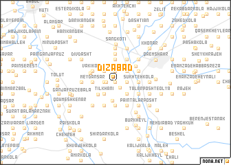
Dīzābād (Iran)Dīzābād is a town in Iran. An overview map of the region around Dīzābād is displayed below.
regional and 3d topo map of Dīzābād, Iran ::
Dīzābād airports ::
The nearest airport is THR - Teheran Mehrabad Intl, located 157.3 km south west of Dīzābād.
Nearby towns ::
Sheykh Kolá (0.0km north) //
Rangrīz Kolā (1.0km south east) //
Ţarsī Kolā (1.2km west) //
Shūmī Kolā (1.5km west) //
Afrā (1.5km east) //
Torkaman Kheyl (1.9km north) //
Vāy Kolā (1.9km north) //
Fenderī (1.9km north) //
Chaft-e Kolā (1.5km east) //
Namāvar Kolā (1.9km north) //
Tīl Khānī (2.4km south west) //
Ţāres Kolā (2.4km south west) //
Now Kolā va Bībī Kolā (2.4km south east) //
Fenderī-ye Nām Āvar (2.4km north west) //
Shāmī Kolā (2.4km north west) //
Bargaman Kheyl (2.4km north west) //
Bī Kolā (2.4km north west) //
Qandarī (2.4km north west) //
Mūsá Kheyl (2.4km north east) //
Ḩājjī Kolā Sanam (3.0km south) //
Qarā Kheyl (2.9km north west) //
Malek Kheyl (3.0km south west) //
Meydān Sar (3.0km west) //
Şanam (3.7km south) //
Bībī Kolā (3.7km south) //
Sūkhteh Kolā (3.0km east) //
Khormā Kolā (3.7km north) //
Lākīl (3.7km north) //
Janīd (3.7km north) //
[all distances 'as the bird flies' and approximate] 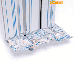 Places with similar names to Dīzābād, Iran ::
Disclaimer :: Information on this page comes without warranty of any kind |
||
|
Where is Dīzābād? Elevation and coordinates ::
Latitude (lat): 36°26'0"N Longitude (lon): 52°48'0"E
Elevation (approx.): 74m (map arrows pan, magnifying glasses zoom) |
||
|
Visiting Dīzābād? Hotel/Accommodation ::
Book a hotel in Dīzābād Travel Guide ::
Buy a travel guide for Iran rental cars ::
car rental offers GPS waypoint ::
download a GPX waypoint (PoI) of Dīzābād for your GPS receiver
|
||