|
search place name
|
||
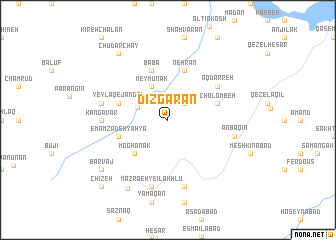
Dīzgarān (Iran)Dīzgarān is a town in Iran. An overview map of the region around Dīzgarān is displayed below.
regional and 3d topo map of Dīzgarān, Iran ::
Dīzgarān airports ::
The nearest airport is RAS - Rasht, located 89.0 km north east of Dīzgarān.
Other airports nearby include RZR - Ramsar (144.3 km east), Nearby towns ::
Chūbeh (2.4km north east) //
Dīzehjīn (3.1km north west) //
Meymūnak (4.0km north) //
Moghānak (4.8km south west) //
Emāmzādeh Yaḩyá (4.8km south west) //
Cholombeh (4.8km north east) //
Nehrān (5.8km north) //
Yeylāq-e Jangal (4.8km north west) //
Bābā (5.8km north) //
Āq Darreh (5.8km north east) //
Kangāvar (5.9km west) //
Mazra‘eh-ye Īlākhlū (7.6km south) //
Yeylāq-e Shāhdasht (7.6km south) //
Anbaqīn (6.2km east) //
Sazer (6.2km west) //
Shīzar (6.2km west) //
Māhīn (8.5km south west) //
Barvaj (8.1km south west) //
Chūdar Chāy (8.7km north west) //
Chīzeh (9.5km south west) //
[all distances 'as the bird flies' and approximate] 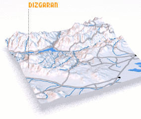 Places with similar names to Dīzgarān, Iran ::
// Tisgarine (MA)
// Tizougarine (MA)
// Tschöran (AT)
// Tsekírion (GR)
// Tsekoúrion (GR)
// Duże Krówno (PL)
// Düzgören (TR)
// Taşkıran (TR)
// Tsukurino (UA)
// Dīzgarān (IR)
Disclaimer :: Information on this page comes without warranty of any kind |
||
|
Where is Dīzgarān? Elevation and coordinates ::
Latitude (lat): 36°38'0"N Longitude (lon): 49°6'0"E
Elevation (approx.): 1974m (map arrows pan, magnifying glasses zoom) |
||
|
Visiting Dīzgarān? Hotel/Accommodation ::
Book a hotel in Dīzgarān Travel Guide ::
Buy a travel guide for Iran rental cars ::
car rental offers GPS waypoint ::
download a GPX waypoint (PoI) of Dīzgarān for your GPS receiver
|
||