|
search place name
|
||
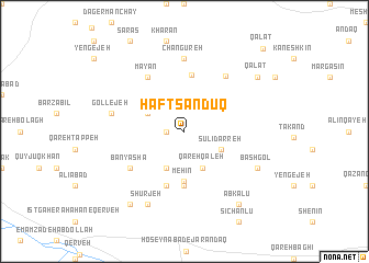
Haft Şandūq (Iran)Haft Şandūq is a town in Iran. An overview map of the region around Haft Şandūq is displayed below.
regional and 3d topo map of Haft Şandūq, Iran ::
Haft Şandūq airports ::
The nearest airport is RAS - Rasht, located 129.0 km north of Haft Şandūq.
Other airports nearby include RZR - Ramsar (135.2 km north east), THR - Teheran Mehrabad Intl (173.4 km east), Nearby towns ::
Moḩammadābād (1.5km west) //
Aḩmadābād (3.5km north west) //
Emāmzādeh Aşghar (4.0km south) //
Sūlī Darreh (3.5km south east) //
Qareh Qal‘eh (4.0km south) //
Arbaţ Darreh (3.5km south east) //
Mehīn (5.1km south) //
Jarandaq (5.6km south) //
Shenāsfand (5.8km north) //
Mollāābād (5.8km south) //
Māyān (6.3km north west) //
Bān Yāshā (5.8km south west) //
Changūreh (6.6km north east) //
Changūreh (7.4km north) //
Gollejeh (6.3km west) //
Shūrjeh (8.0km south) //
Bāshgol (7.0km south east) //
Shūr (8.7km south west) //
Qalāt (8.2km north east) //
Ābkalū (8.7km south east) //
Qalāt (10.6km north east) //
[all distances 'as the bird flies' and approximate] 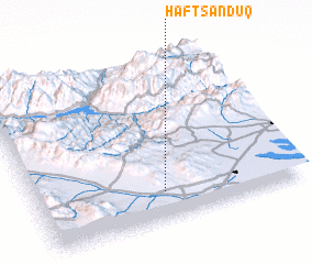 Places with similar names to Haft Şandūq, Iran :: Disclaimer :: Information on this page comes without warranty of any kind |
||
|
Where is Haft Şandūq? Elevation and coordinates ::
Latitude (lat): 36°10'0"N Longitude (lon): 49°29'0"E
Elevation (approx.): 1663m (map arrows pan, magnifying glasses zoom) |
||
|
Visiting Haft Şandūq? Hotel/Accommodation ::
Book a hotel in Haft Şandūq Travel Guide ::
Buy a travel guide for Iran rental cars ::
car rental offers GPS waypoint ::
download a GPX waypoint (PoI) of Haft Şandūq for your GPS receiver
|
||