|
search place name
|
||
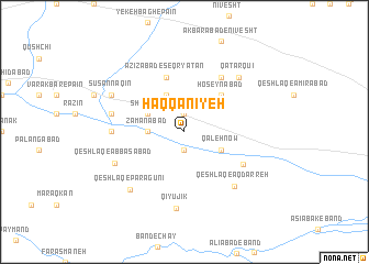
Ḩaqqānīyeh (Iran)Ḩaqqānīyeh is a town in Iran. An overview map of the region around Ḩaqqānīyeh is displayed below.
regional and 3d topo map of Ḩaqqānīyeh, Iran ::
Ḩaqqānīyeh airports ::
The nearest airport is THR - Teheran Mehrabad Intl, located 133.2 km north east of Ḩaqqānīyeh.
Other airports nearby include RZR - Ramsar (216.5 km north), Nearby towns ::
Samāvak (1.9km north) //
Esmā‘īlābād (1.9km south) //
Shāhsavan Kandī Bālā (2.6km north) //
Zamānābād (3.0km west) //
Shūr Jāy (3.6km north west) //
Shāhsavan Kandī-ye Mīānī (4.0km north) //
Qeshlāq-e ‘Azīzābād (4.0km north) //
Qal‘eh Now (3.6km south east) //
Ḩoseynābād (4.8km north east) //
‘Azīzābād-e Seqryātān (5.8km north) //
Ḩasanābād-e Shīr Moḩammad (6.3km north east) //
Aqdarreh (5.9km south east) //
Jalāyer (6.1km west) //
Qeshlāq-e Āqdarreh (6.9km south east) //
Band-e Naqī (6.3km west) //
Qeshlāq-e ‘Abbāsābād (6.6km south west) //
Qīyūjīk (7.8km south) //
Qaţār Qū'ī (7.2km north east) //
Noşratābād (7.2km north east) //
Qeshlāq-e Pārāgūnī (7.4km south west) //
Sūsan Naqīn (7.1km north west) //
[all distances 'as the bird flies' and approximate] 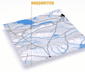
Disclaimer :: Information on this page comes without warranty of any kind |
||
|
Where is Ḩaqqānīyeh? Elevation and coordinates ::
Latitude (lat): 35°1'0"N Longitude (lon): 50°6'0"E
Elevation (approx.): 1225m (map arrows pan, magnifying glasses zoom) |
||
|
Visiting Ḩaqqānīyeh? Hotel/Accommodation ::
Book a hotel in Ḩaqqānīyeh Travel Guide ::
Buy a travel guide for Iran rental cars ::
car rental offers GPS waypoint ::
download a GPX waypoint (PoI) of Ḩaqqānīyeh for your GPS receiver
|
||