|
search place name
|
||
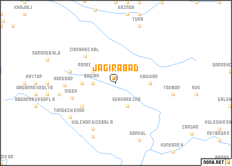
Jāgīrābād (Lorestān, Iran)Jāgīrābād is a town in the Lorestān region of Iran. An overview map of the region around Jāgīrābād is displayed below.
regional and 3d topo map of Jāgīrābād, Iran ::
Jāgīrābād airports ::
The nearest airport is QMJ - Masjed Soleiman Shahid Asyaee, located 118.9 km south of Jāgīrābād.
Other airports nearby include AWZ - Ahwaz (191.2 km south), KSH - Bakhtaran Shahid Ashrafi Esfahani (223.2 km north west), Nearby towns ::
Qādīān (3.1km west) //
Seh Varāznā (4.0km south east) //
Ponegestān (3.6km north west) //
Dīgeh-ye Pāchenār (4.7km west) //
Kodīvar (4.7km east) //
Zīr Rāh-e Chāl (6.0km north west) //
Gūsheh-ye Chāl Bozorg (6.0km north west) //
Pāy-ye Sefīdāneh (6.0km south west) //
Nīgeh (6.4km west) //
Dīgeh-ye Qādīān (6.5km west) //
Kūl Changīz-e Bālā (8.0km south west) //
Margsar (7.0km west) //
Tang-e Chenār (8.3km south west) //
Sard (9.2km south) //
[all distances 'as the bird flies' and approximate] 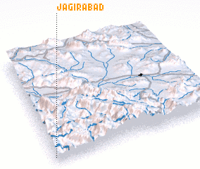 Places with similar names to Jāgīrābād, Iran :: Disclaimer :: Information on this page comes without warranty of any kind |
||
|
Where is Jāgīrābād? Elevation and coordinates ::
Latitude (lat): 33°3'0"N Longitude (lon): 49°0'0"E
Elevation (approx.): 1403m (map arrows pan, magnifying glasses zoom) |
||
|
Visiting Jāgīrābād? Hotel/Accommodation ::
Book a hotel in Jāgīrābād Travel Guide ::
Buy a travel guide for Iran rental cars ::
car rental offers GPS waypoint ::
download a GPX waypoint (PoI) of Jāgīrābād for your GPS receiver
|
||