|
search place name
|
||
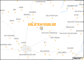
Kalāteh-ye Sālār (Khorāsān, Iran)Kalāteh-ye Sālār is a town in the Khorāsān region of Iran. An overview map of the region around Kalāteh-ye Sālār is displayed below.
regional and 3d topo map of Kalāteh-ye Sālār, Iran ::
Kalāteh-ye Sālār airports ::
The nearest airport is ASB - Ashkhabad Ashgabat, located 196.5 km north of Kalāteh-ye Sālār.
Nearby towns ::
Shabāsh (2.1km north west) //
Kalāteh-ye Ḩājjī Barāt (2.7km east) //
Kalāteh-ye Behbūd (3.7km south east) //
Rāz Qand (4.0km north west) //
Kalāteh-ye Mīlānī (4.8km north west) //
Sang Sefid (5.0km north west) //
‘Eshratābād (4.9km north west) //
Kalāteh-ye Khvājeh ‘Alī (6.0km north west) //
Īzī (6.8km south) //
Soleymānīyeh (6.5km north east) //
Kheyrābād (6.7km south east) //
Sa‘dābād (7.5km north west) //
Sar Rāhī (7.7km north west) //
Mīr Ḩoseyn (7.9km north west) //
Sabzevār (9.7km south west) //
Kūshk (9.4km south west) //
Emāmzādeh Seyyed Ḩasan (10.2km south east) //
[all distances 'as the bird flies' and approximate] 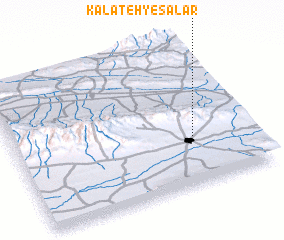 Places with similar names to Kalāteh-ye Sālār, Iran ::
// Kalāteh-ye Sālārī (IR)
Disclaimer :: Information on this page comes without warranty of any kind |
||
|
Where is Kalāteh-ye Sālār? Elevation and coordinates ::
Latitude (lat): 36°17'19"N Longitude (lon): 57°44'9"E
Elevation (approx.): 1260m (map arrows pan, magnifying glasses zoom) |
||
|
Visiting Kalāteh-ye Sālār? Hotel/Accommodation ::
Book a hotel in Kalāteh-ye Sālār Travel Guide ::
Buy a travel guide for Iran rental cars ::
car rental offers GPS waypoint ::
download a GPX waypoint (PoI) of Kalāteh-ye Sālār for your GPS receiver
|
||