|
search place name
|
||
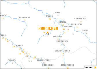
Khānīcheh (Fārs, Iran)Khānīcheh is a town in the Fārs region of Iran. An overview map of the region around Khānīcheh is displayed below.
regional and 3d topo map of Khānīcheh, Iran ::
Khānīcheh airports ::
The nearest airport is SYZ - Shiraz Shahid Dastghaib Intl, located 181.0 km north of Khānīcheh.
Other airports nearby include BUZ - Bushehr (189.7 km north west), KIH - Kish Island (220.8 km south east), BAH - Bahrain Intl (251.7 km south west), Nearby towns ::
Ḩājjī Aḩmadī (1.7km north west) //
Bāgh-e Dād (3.8km south east) //
Berkow (6.0km north) //
Jūnbūz (5.4km east) //
Kahnū (5.6km north east) //
Gonbīdū (6.2km north east) //
Bāgh-e Pāyeh (6.2km south east) //
Chāh Pahn (7.0km east) //
Bāgh-e Lakāhūr (8.1km north east) //
Pākal (8.1km north east) //
Bīd-e Pāyeh Bāgh (8.9km south east) //
Bohr-e Bāgh (9.9km south west) //
Manz̧ar (9.9km south west) //
‘Alīābād (9.9km south west) //
Bīd Boland (10.3km south west) //
Şeydī (11.1km south west) //
[all distances 'as the bird flies' and approximate] 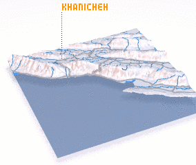 Places with similar names to Khānīcheh, Iran ::
// Khinoch (UA)
// Khān Chāy (IR)
// Khānshāh (IR)
// Khonā Chāh (IR)
// Khanacha (MA)
// Khon Chao (VN)
// Khon Chu (VN)
// Khuôn Châu (VN)
// Khinshe (MM)
Disclaimer :: Information on this page comes without warranty of any kind |
||
|
Where is Khānīcheh? Elevation and coordinates ::
Latitude (lat): 27°55'0"N Longitude (lon): 52°23'0"E
Elevation (approx.): 400m (map arrows pan, magnifying glasses zoom) |
||
|
Visiting Khānīcheh? Hotel/Accommodation ::
Book a hotel in Khānīcheh Travel Guide ::
Buy a travel guide for Iran rental cars ::
car rental offers GPS waypoint ::
download a GPX waypoint (PoI) of Khānīcheh for your GPS receiver
|
||