|
search place name
|
||
Khū'īn (Iran)Khū'īn is a town in Iran. An overview map of the region around Khū'īn is displayed below.
regional and 3d topo map of Khū'īn, Iran ::

Khū'īn airports ::
The nearest airport is TBZ - Tabriz Intl, located 173.2 km north west of Khū'īn.
Other airports nearby include SDG - Sanandaj (178.3 km south), Nearby towns ::
Qezeljeh (1.5km east) //
Sa‘īd Kandī (1.5km west) //
Bāycheh Bāgh (4.0km north) //
Chāy Qeshlāq (4.7km south west) //
Ma‘dan-e Begjahbāgh (5.6km north) //
Tāt Qeshlāq (4.8km south west) //
Qal‘eh-ye Arzehkhūrān (5.8km north) //
Beyānlū (4.8km north east) //
Takhteh Yūrd (6.3km south east) //
Lahjebīn (6.2km east) //
‘Alam Kandī (8.6km south west) //
Gūndak (8.6km south east) //
Parū Khān (9.5km south west) //
Chollū (9.5km north west) //
Qelīchkhān Kandī (9.5km north west) //
[all distances 'as the bird flies' and approximate] 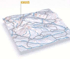 Places with similar names to Khū'īn, Iran ::
Disclaimer :: Information on this page comes without warranty of any kind |
||
|
Where is Khū'īn? Elevation and coordinates ::
Latitude (lat): 36°50'0"N Longitude (lon): 47°19'0"E
Elevation (approx.): 2058m (map arrows pan, magnifying glasses zoom) |
||
|
Visiting Khū'īn? Hotel/Accommodation ::
Book a hotel in Khū'īn Travel Guide ::
Buy a travel guide for Iran rental cars ::
car rental offers GPS waypoint ::
download a GPX waypoint (PoI) of Khū'īn for your GPS receiver
|
||