|
search place name
|
||
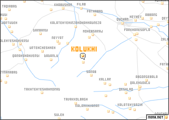
Kolūkhī (Khorāsān, Iran)Kolūkhī is a town in the Khorāsān region of Iran. An overview map of the region around Kolūkhī is displayed below.
regional and 3d topo map of Kolūkhī, Iran ::
Kolūkhī airports ::
The nearest airport is ASB - Ashkhabad Ashgabat, located 106.0 km north of Kolūkhī.
Nearby towns ::
Kohneh Forūd (0.6km south) //
Kalāteh-ye Nowrūzī (2.1km north west) //
Sarāb (3.7km south) //
Gowjeh (5.1km north) //
Yazdānābād-e Bālā (4.7km north west) //
Moḩeb Sarāj (5.8km north) //
Joneydābād (5.8km north west) //
Kallar (6.4km south east) //
Neyyat (6.3km north west) //
Dadānlū (5.9km west) //
Kalāteh-ye Mīrzā Moḩammad Reẕā (7.6km north) //
Yengeh Qal‘eh-ye Havadānlū (7.2km south east) //
Qāshqeh-ye Qīyeh (8.9km south east) //
Qūchān (10.6km north east) //
[all distances 'as the bird flies' and approximate] 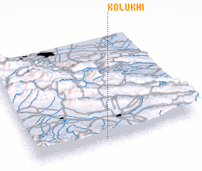 Places with similar names to Kolūkhī, Iran ::
Disclaimer :: Information on this page comes without warranty of any kind |
||
|
Where is Kolūkhī? Elevation and coordinates ::
Latitude (lat): 37°2'0"N Longitude (lon): 58°26'0"E
Elevation (approx.): 1655m (map arrows pan, magnifying glasses zoom) |
||
|
Visiting Kolūkhī? Hotel/Accommodation ::
Book a hotel in Kolūkhī Travel Guide ::
Buy a travel guide for Iran rental cars ::
car rental offers GPS waypoint ::
download a GPX waypoint (PoI) of Kolūkhī for your GPS receiver
|
||