|
search place name
|
||
Mīl Sharafī (Fārs, Iran)Mīl Sharafī is a town in the Fārs region of Iran. An overview map of the region around Mīl Sharafī is displayed below.
regional and 3d topo map of Mīl Sharafī, Iran ::

Mīl Sharafī airports ::
The nearest airport is SYZ - Shiraz Shahid Dastghaib Intl, located 57.9 km south east of Mīl Sharafī.
Other airports nearby include BUZ - Bushehr (154.3 km south west), Nearby towns ::
Qareh Chaman (2.0km north east) //
Dowlatābād (6.4km south east) //
Darreh Līsheh (6.8km north west) //
Tang-e Kabūtarī (7.8km north) //
Elyāsābād (9.5km south east) //
Jūy (10.6km north east) //
Ja‘farābād (11.0km north east) //
[all distances 'as the bird flies' and approximate] 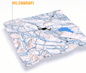 Places with similar names to Mīl Sharafī, Iran ::
// Mollā Sharīf (IR)
// Mollā Sharīfī (IR)
// Mulla Sharīf (PK)
// Moulay Cherif (MA)
// Mollā Ashraf (AF)
Disclaimer :: Information on this page comes without warranty of any kind |
||
|
Where is Mīl Sharafī? Elevation and coordinates ::
Latitude (lat): 29°48'39"N Longitude (lon): 52°4'45"E
Elevation (approx.): 2137m (map arrows pan, magnifying glasses zoom) |
||
|
Visiting Mīl Sharafī? Hotel/Accommodation ::
Book a hotel in Mīl Sharafī Travel Guide ::
Buy a travel guide for Iran rental cars ::
car rental offers GPS waypoint ::
download a GPX waypoint (PoI) of Mīl Sharafī for your GPS receiver
|
||