|
search place name
|
||
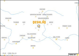
Qeshlāq (Lorestān, Iran)Qeshlāq is a town in the Lorestān region of Iran. An overview map of the region around Qeshlāq is displayed below.
regional and 3d topo map of Qeshlāq, Iran ::
Qeshlāq airports ::
The nearest airport is QMJ - Masjed Soleiman Shahid Asyaee, located 112.8 km south of Qeshlāq.
Other airports nearby include AWZ - Ahwaz (190.4 km south), Nearby towns ::
Shāhrūd (1.1km south west) //
Galeh Yār (1.6km west) //
Mādīān Mordeh (4.0km north east) //
Kādāvūd (4.0km north east) //
Āb Garmak (3.6km north east) //
Gūshdūn (4.8km south west) //
Kūl-e Shīneh (4.8km south west) //
Kūl-e Aḩmad Ḩasan (5.6km south) //
Bang (5.0km east) //
Darreh Chenār (5.8km north) //
Neybedar (6.4km south west) //
Dasht-e Khānī (6.4km north east) //
Barvasī (7.4km north) //
Bardeh Sī (7.5km north) //
Mūs (6.5km west) //
Gāvsar (8.2km north) //
Zardar (8.2km south west) //
Golī Chās (8.5km south east) //
Golīchās (8.5km south east) //
[all distances 'as the bird flies' and approximate] 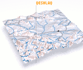 Places with similar names to Qeshlāq, Iran ::
// Cache Lake (US)
// Cache Lake (US)
// Kisiołki (PL)
// Kachulka (BG)
// Kashleyka (RU)
// Kocheleyka (RU)
// Kuchulga (RU)
// Kushelga (RU)
// Kushlega (RU)
// Qashlāq (IQ)
Disclaimer :: Information on this page comes without warranty of any kind |
||
|
Where is Qeshlāq? Elevation and coordinates ::
Latitude (lat): 33°1'0"N Longitude (lon): 49°11'0"E
Elevation (approx.): 2019m (map arrows pan, magnifying glasses zoom) |
||
|
Visiting Qeshlāq? Hotel/Accommodation ::
Book a hotel in Qeshlāq Travel Guide ::
Buy a travel guide for Iran rental cars ::
car rental offers GPS waypoint ::
download a GPX waypoint (PoI) of Qeshlāq for your GPS receiver
|
||