|
search place name
|
||
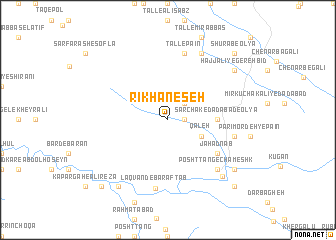
Rīkhān-e Seh (Lorestān, Iran)Rīkhān-e Seh is a town in the Lorestān region of Iran. An overview map of the region around Rīkhān-e Seh is displayed below.
regional and 3d topo map of Rīkhān-e Seh, Iran ::
Rīkhān-e Seh airports ::
The nearest airport is KSH - Bakhtaran Shahid Ashrafi Esfahani, located 149.4 km north west of Rīkhān-e Seh.
Other airports nearby include QMJ - Masjed Soleiman Shahid Asyaee (176.7 km south east), AWZ - Ahwaz (223.3 km south), SDG - Sanandaj (241.7 km north west), Nearby towns ::
Rīkhān-e Do (1.5km east) //
Pīzelkūh (2.4km north east) //
Qal‘eh (3.6km south east) //
Dādābād-e Soflá (3.8km north east) //
Rīkhān-e Yek (4.6km east) //
Sarchak-e Dādābād-e ‘Olyā (4.6km east) //
Jahād Nāb (5.9km south east) //
Pāchak (6.5km east) //
Tall-e Pā'īn (7.6km north) //
Laqvand-e Barāftāb (7.7km south) //
Posht Tang-e Chameshk (7.2km south east) //
Rafī‘ (8.0km north east) //
Chameshk-e Posht-e Tang (8.1km south east) //
Bakhshvand-e Barāftāb (8.8km south west) //
Ḩājj ‘Alī-ye Gerehbīd (8.3km north east) //
Qal‘eh-ye Chameshk (8.3km south east) //
Chameshk-e Zīr Tang (9.7km south east) //
Kapargāh-e Āqā Ḩoseyn (9.7km south west) //
Shūrāb-e ‘Olyā (9.7km north east) //
[all distances 'as the bird flies' and approximate] 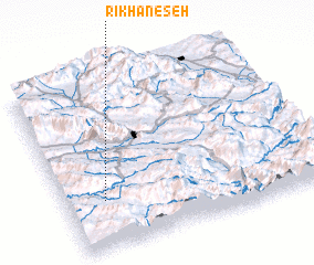 Places with similar names to Rīkhān-e Seh, Iran :: Disclaimer :: Information on this page comes without warranty of any kind |
||
|
Where is Rīkhān-e Seh? Elevation and coordinates ::
Latitude (lat): 33°17'0"N Longitude (lon): 48°9'0"E
Elevation (approx.): 1632m (map arrows pan, magnifying glasses zoom) |
||
|
Visiting Rīkhān-e Seh? Hotel/Accommodation ::
Book a hotel in Rīkhān-e Seh Travel Guide ::
Buy a travel guide for Iran rental cars ::
car rental offers GPS waypoint ::
download a GPX waypoint (PoI) of Rīkhān-e Seh for your GPS receiver
|
||