|
search place name
|
||
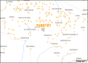
Rūbayāt (Khorāsān, Iran)Rūbayāt is a town in the Khorāsān region of Iran. An overview map of the region around Rūbayāt is displayed below.
regional and 3d topo map of Rūbayāt, Iran ::
Rūbayāt airports ::
The nearest airport is XBJ - Birjand, located 20.8 km north of Rūbayāt.
Nearby towns ::
Sar-e Qabrestān (0.6km north) //
Khāk (2.4km north) //
Zargar (2.3km west) //
Posht Kūh (3.2km north) //
Pīr Mench (3.1km south east) //
Kāhakī (3.6km north) //
Lan Estālak (3.9km north) //
Mazīdābād (3.9km north east) //
Kalāt-e Gholām Reẕā Bālā (4.4km north) //
Ḩeşār (4.4km south) //
Olang-e Sar Sīmech (4.6km north) //
Bāskān (4.7km north) //
Kalāteh-ye Pā-ye Godār (4.8km north) //
Tag-e Oshtorān (4.8km north) //
Golestān (4.4km south east) //
Kalāteh-ye Ḩājjīān (4.8km north) //
Sheykhak (4.9km north east) //
Ḩasanābād-e Bālā (4.3km east) //
Kalāteh-ye Ḩasan Reẕā (4.7km north east) //
Tarkūnj (4.8km north east) //
Nowrashk (5.2km south east) //
Nādūk (5.2km north west) //
Ḩoseynābād (5.4km north east) //
Kalāteh-ye Seyf (5.5km north) //
Ḩasan Beyg (5.4km north west) //
‘Eylakī-ye Pā'īn (4.9km west) //
Ḩasanābād-e Mīān (5.1km east) //
Shahrestānak (5.1km west) //
Kalāteh-ye ‘Alī Moḩammad (5.3km north east) //
[all distances 'as the bird flies' and approximate] 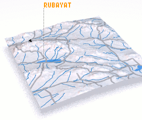 Places with similar names to Rūbayāt, Iran ::
// Rubyatt (US)
Disclaimer :: Information on this page comes without warranty of any kind |
||
|
Where is Rūbayāt? Elevation and coordinates ::
Latitude (lat): 32°42'41"N Longitude (lon): 59°16'59"E
Elevation (approx.): 2045m (map arrows pan, magnifying glasses zoom) |
||
|
Visiting Rūbayāt? Hotel/Accommodation ::
Book a hotel in Rūbayāt Travel Guide ::
Buy a travel guide for Iran rental cars ::
car rental offers GPS waypoint ::
download a GPX waypoint (PoI) of Rūbayāt for your GPS receiver
|
||