|
search place name
|
||
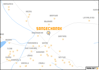
Sang-e Chārak (Fārs, Iran)Sang-e Chārak is a town in the Fārs region of Iran. An overview map of the region around Sang-e Chārak is displayed below.
regional and 3d topo map of Sang-e Chārak, Iran ::
Sang-e Chārak airports ::
The nearest airport is SYZ - Shiraz Shahid Dastghaib Intl, located 207.1 km north west of Sang-e Chārak.
Other airports nearby include BND - Bandar Abbass Intl (250.9 km south east), Nearby towns ::
Dārāb (4.0km south) //
Āb Jahān (4.1km north) //
Nīdeh Shahr (3.9km west) //
Derīmī (4.5km south) //
Qal‘eh-ye Pā'īn (4.8km south) //
Dam Tang (4.8km east) //
Dūbān (5.5km south west) //
Akbarābād (6.3km south) //
Barfdān (6.6km north) //
Sākhtemān-e Konār Ḩajjī (7.1km south east) //
Pīr-e Morād (6.8km south west) //
Akbarābād-e Pāʼīn (7.5km south) //
Moḩammadābād (7.9km south) //
Khaẕrābād (8.1km south) //
Shāh Nān (8.2km south) //
Sheykhābād (8.6km south west) //
Ījūb (9.4km north west) //
Barkam (9.9km north west) //
Mazrū (10.3km north west) //
[all distances 'as the bird flies' and approximate]  Places with similar names to Sang-e Chārak, Iran ::
// Sang-e Chārak (AF)
Disclaimer :: Information on this page comes without warranty of any kind |
||
|
Where is Sang-e Chārak? Elevation and coordinates ::
Latitude (lat): 28°47'14"N Longitude (lon): 54°32'19"E
Elevation (approx.): 1249m (map arrows pan, magnifying glasses zoom) |
||
|
Visiting Sang-e Chārak? Hotel/Accommodation ::
Book a hotel in Sang-e Chārak Travel Guide ::
Buy a travel guide for Iran rental cars ::
car rental offers GPS waypoint ::
download a GPX waypoint (PoI) of Sang-e Chārak for your GPS receiver
|
||