|
search place name
|
||
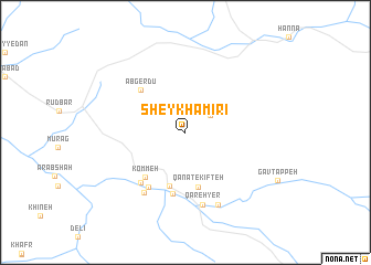
Sheykh Amīrī (Eşfahān, Iran)Sheykh Amīrī is a town in the Eşfahān region of Iran. An overview map of the region around Sheykh Amīrī is displayed below.
regional and 3d topo map of Sheykh Amīrī, Iran ::
Sheykh Amīrī airports ::
The nearest airport is SYZ - Shiraz Shahid Dastghaib Intl, located 197.4 km south east of Sheykh Amīrī.
Nearby towns ::
Cheshmeh Khūnī (2.8km north east) //
Dīdeh Jān (5.5km south) //
Qanāt-e Kīfteh (5.6km south) //
Kommeh (5.7km south west) //
Āb Gerdū (5.8km north west) //
Sa‘ādatābād (6.3km south) //
Qal‘eh-ye Gholāmḩoseyn (6.4km south west) //
Emāmzādeh Bībī (6.4km south west) //
Qal‘eh-ye Īraj (7.0km south west) //
Qareh Yer (7.5km south) //
Kīfteh Gīveh Sīn (7.8km south) //
[all distances 'as the bird flies' and approximate] 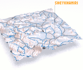 Places with similar names to Sheykh Amīrī, Iran ::
// Sheykh Amīrī (IR)
// Shakhimār (PK)
// Shaykh ‘Umar (SY)
// Shaykh ‘Āmir (IQ)
// Shaykh ‘Amārah (SD)
// Sheykh ‘Āmer (IR)
// Chakhumbira (MW)
// Chakhumbira (MW)
Disclaimer :: Information on this page comes without warranty of any kind |
||
|
Where is Sheykh Amīrī? Elevation and coordinates ::
Latitude (lat): 31°6'53"N Longitude (lon): 51°37'57"E
Elevation (approx.): 2456m (map arrows pan, magnifying glasses zoom) |
||
|
Visiting Sheykh Amīrī? Hotel/Accommodation ::
Book a hotel in Sheykh Amīrī Travel Guide ::
Buy a travel guide for Iran rental cars ::
car rental offers GPS waypoint ::
download a GPX waypoint (PoI) of Sheykh Amīrī for your GPS receiver
|
||