|
search place name
|
||
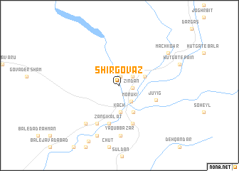
Shīr Govāz (Sīstān va Balūchestān, Iran)Shīr Govāz is a town in the Sīstān va Balūchestān region of Iran. An overview map of the region around Shīr Govāz is displayed below.
regional and 3d topo map of Shīr Govāz, Iran ::
Shīr Govāz airports ::
The nearest airport is ZBR - Chah Bahar, located 107.7 km west of Shīr Govāz.
Other airports nearby include GWD - Gwadar (110.0 km south east), TRB - Turbo Turbat Intl (165.6 km east), PSI - Pasni (202.3 km east), Nearby towns ::
Eslāmābād (1.4km north) //
Kahīrī (1.4km north) //
Zīndān (1.9km east) //
Nalīnt (2.3km north east) //
Morūkī (3.0km south east) //
Kach (4.1km south) //
Gabūlānī (3.8km east) //
Bāhū Kalāt (4.6km south east) //
Jūyīg (5.7km south east) //
Zangī Kalāt (6.2km south) //
Dalvash Bāzār (6.3km south) //
Dempag (6.8km south west) //
Ya‘qūb Bāzār (7.8km south) //
Vādelū (7.7km south west) //
Kūrakī (7.7km south west) //
Daldap (8.5km south) //
Māch Kowr (8.6km north east) //
Shāh Bīgzī (9.8km south west) //
[all distances 'as the bird flies' and approximate] 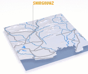 Places with similar names to Shīr Govāz, Iran ::
// Shurgovazh (RU)
Disclaimer :: Information on this page comes without warranty of any kind |
||
|
Where is Shīr Govāz? Elevation and coordinates ::
Latitude (lat): 25°45'14"N Longitude (lon): 61°23'53"E
Elevation (approx.): 37m (map arrows pan, magnifying glasses zoom) |
||
|
Visiting Shīr Govāz? Hotel/Accommodation ::
Book a hotel in Shīr Govāz Travel Guide ::
Buy a travel guide for Iran rental cars ::
car rental offers GPS waypoint ::
download a GPX waypoint (PoI) of Shīr Govāz for your GPS receiver
|
||