|
search place name
|
||
Shūmedrī (Kermān, Iran)Shūmedrī is a town in the Kermān region of Iran. An overview map of the region around Shūmedrī is displayed below.
regional and 3d topo map of Shūmedrī, Iran ::

Shūmedrī airports ::
The nearest airport is BND - Bandar Abbass Intl, located 161.8 km west of Shūmedrī.
Other airports nearby include KHS - Khasab (242.1 km south west), Nearby towns ::
Shūrehzār (0.5km south west) //
Karaj (5.0km east) //
Dar Patgān (7.3km north west) //
Ganjābād-e Pā'īn (7.4km north east) //
Gol Man (7.9km south west) //
Gelū Āhūgān (8.9km south east) //
Vakīlābād (9.4km north east) //
[all distances 'as the bird flies' and approximate] 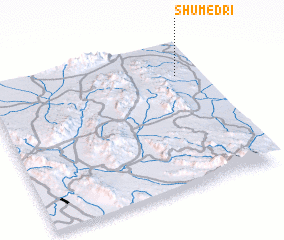 Places with similar names to Shūmedrī, Iran ::
// Chamtīr (IQ)
// Chamadouro (PT)
// Chāh Maţār (IR)
// Cham Darreh (IR)
// Chāmtāra (BD)
// Chimaidari (IN)
// Chumbítaro (MX)
// Chumbitaro (MX)
// Shamīdar (IR)
// Chamtār (PK)
Disclaimer :: Information on this page comes without warranty of any kind |
||
|
Where is Shūmedrī? Elevation and coordinates ::
Latitude (lat): 27°46'51"N Longitude (lon): 57°53'20"E
Elevation (approx.): 487m (map arrows pan, magnifying glasses zoom) |
||
|
Visiting Shūmedrī? Hotel/Accommodation ::
Book a hotel in Shūmedrī Travel Guide ::
Buy a travel guide for Iran rental cars ::
car rental offers GPS waypoint ::
download a GPX waypoint (PoI) of Shūmedrī for your GPS receiver
|
||