|
search place name
|
||
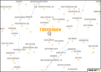
Tarkeh Deh (Ardabīl, Iran)Tarkeh Deh is a town in the Ardabīl region of Iran. An overview map of the region around Tarkeh Deh is displayed below.
regional and 3d topo map of Tarkeh Deh, Iran ::
Tarkeh Deh airports ::
The nearest airport is RAS - Rasht, located 130.0 km south east of Tarkeh Deh.
Nearby towns ::
Narlū (1.1km south) //
Khvājehīm (2.4km south) //
Ja‘farlū (3.4km south) //
Pīlah Galīn (3.7km north) //
Pīr Zamān (3.8km south east) //
Vāybāsh (4.5km north west) //
Qerkh Bolāgh (5.7km south) //
Mowlān-e Soflá (5.7km north) //
Seyyedābād (5.8km north east) //
Mowlān-e ‘Olyā (6.2km north) //
Galīn Qeshlāqī (5.7km south east) //
Tājībeyūk (6.0km west) //
Jīāvān (6.2km north east) //
Khalaflū (7.7km south east) //
Helābād (6.7km east) //
Āqbāsh (8.3km south) //
Īnalū (7.4km north east) //
Qal‘eh Jūq (7.0km south west) //
Āghcheh Kohol (7.7km south west) //
Masjedlū (7.9km north east) //
Qāsem Qeshlāqī (7.9km south west) //
Jīn Qeshlāq (7.4km west) //
Masjedlū (9.1km north east) //
Meresht (8.5km south east) //
Būsjīn (8.9km north west) //
Şādeqlū (9.1km south west) //
Gāvar Qal‘eh (10.7km north east) //
[all distances 'as the bird flies' and approximate] 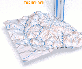 Places with similar names to Tarkeh Deh, Iran ::
Disclaimer :: Information on this page comes without warranty of any kind |
||
|
Where is Tarkeh Deh? Elevation and coordinates ::
Latitude (lat): 37°56'35"N Longitude (lon): 48°21'16"E
Elevation (approx.): 1631m (map arrows pan, magnifying glasses zoom) |
||
|
Visiting Tarkeh Deh? Hotel/Accommodation ::
Book a hotel in Tarkeh Deh Travel Guide ::
Buy a travel guide for Iran rental cars ::
car rental offers GPS waypoint ::
download a GPX waypoint (PoI) of Tarkeh Deh for your GPS receiver
|
||