|
search place name
|
||
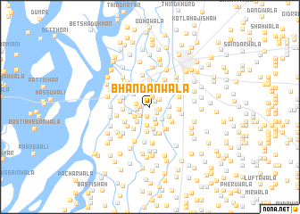
Bhandānwāla (Punjab, Pakistan)Bhandānwāla is a town in the Punjab region of Pakistan. An overview map of the region around Bhandānwāla is displayed below.
regional and 3d topo map of Bhandānwāla, Pakistan ::
Bhandānwāla airports ::
The nearest airport is MUX - Multan Intl, located 92.7 km south east of Bhandānwāla.
Other airports nearby include PZH - Zhob (145.8 km west), Nearby towns ::
Gāmanwāla (0.8km north east) //
Churkalwāla (0.9km south east) //
Mehr Chandwāla (1.1km south east) //
Ludewāla (1.1km west) //
Mangewāla (1.1km east) //
Sunārewāla (1.3km north) //
Muhammadwāla (1.3km south) //
Gudārewāla (1.4km north east) //
Abdullāhwāla (1.4km west) //
Gujrānwāla (1.5km south west) //
Jāngla (1.6km south) //
Gudārewāla (1.5km west) //
Asmānwāla (2.0km south east) //
Mahīnwālwāla (2.2km north) //
Dalanwāla (2.0km south west) //
Tarkhānwāla (2.3km south) //
Chhohānwāla (2.3km south) //
Mankerewāla (2.3km south west) //
Kotal Qāzi (2.1km east) //
Faqīrwāla (2.3km north west) //
Basti Sīrh (2.2km west) //
Kulāchiwāla (2.7km north) //
Gat (2.5km south east) //
Dājal (2.8km south) //
Nāīwāla (2.6km north east) //
Malānewāla (2.9km north) //
Jālīwāla (3.1km south) //
Basti Bhand (3.2km north) //
Kunnal (3.0km south east) //
[all distances 'as the bird flies' and approximate] 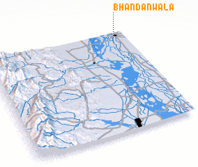 Places with similar names to Bhandānwāla, Pakistan ::
Disclaimer :: Information on this page comes without warranty of any kind |
||
|
Where is Bhandānwāla? Elevation and coordinates ::
Latitude (lat): 30°54'30"N Longitude (lon): 70°54'0"E
Elevation (approx.): 144m (map arrows pan, magnifying glasses zoom) |
||
|
Visiting Bhandānwāla? Hotel/Accommodation ::
Book a hotel in Bhandānwāla Travel Guide ::
Buy a travel guide for Pakistan rental cars ::
car rental offers GPS waypoint ::
download a GPX waypoint (PoI) of Bhandānwāla for your GPS receiver
|
||