|
search place name
|
||
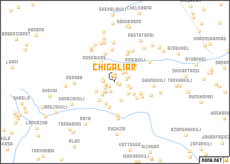
Chigālīar (Federally Administered Tribal Areas, Pakistan)Chigālīar is a town in the Federally Administered Tribal Areas region of Pakistan. An overview map of the region around Chigālīar is displayed below.
regional and 3d topo map of Chigālīar, Pakistan ::
Chigālīar airports ::
The nearest airport is PZH - Zhob, located 161.7 km south west of Chigālīar.
Other airports nearby include PEW - Peshawar Intl (188.3 km north east), JAA - Jalalabad (200.1 km north), KBL - Kabul Intl (242.8 km north west), Nearby towns ::
Ezhdangai (0.3km south east) //
Khadar Ziārat (0.7km south east) //
Mangar Kili (1.0km north) //
Maliki Tatai Kili (1.1km south west) //
Dabak (1.2km north) //
Ushāni Kili (1.3km west) //
Kot (1.6km south west) //
Tatti Palosa (1.6km south west) //
Zangai (1.8km north east) //
Senai Ghundai (1.7km east) //
Gargaral Mela (1.7km west) //
Kara Khel Kili (1.8km west) //
Branra Ghunuai (2.1km south west) //
Tor Rāghzai Kili (1.9km east) //
Zawara Mela (2.1km south west) //
Lakai (2.0km north east) //
Mārezghāra (2.2km north east) //
Tindo Kas (2.3km south east) //
Ghoryasa (2.6km south east) //
Badin Katskai (2.7km south west) //
Lewanai Narai Kili (3.1km south) //
Kawai Rāghzai (3.0km north west) //
Srepanre (3.0km south west) //
Qamar Sarai (3.2km north west) //
Surat Khān Kili (3.3km south east) //
Lakkomanz (3.5km north west) //
Techa Karai (3.8km south) //
Parro (3.7km south west) //
Gazbāba Chīna (3.9km north west) //
[all distances 'as the bird flies' and approximate]  Places with similar names to Chigālīar, Pakistan ::
Disclaimer :: Information on this page comes without warranty of any kind |
||
|
Where is Chigālīar? Elevation and coordinates ::
Latitude (lat): 32°35'58"N Longitude (lon): 70°21'43"E
Elevation (approx.): 876m (map arrows pan, magnifying glasses zoom) |
||
|
Visiting Chigālīar? Hotel/Accommodation ::
Book a hotel in Chigālīar Travel Guide ::
Buy a travel guide for Pakistan rental cars ::
car rental offers GPS waypoint ::
download a GPX waypoint (PoI) of Chigālīar for your GPS receiver
|
||