|
search place name
|
||
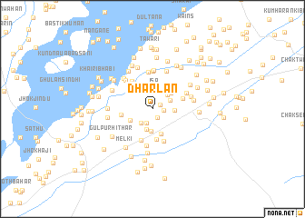
Dharlān (Punjab, Pakistan)Dharlān is a town in the Punjab region of Pakistan. An overview map of the region around Dharlān is displayed below.
regional and 3d topo map of Dharlān, Pakistan ::
Dharlān airports ::
The nearest airport is MUX - Multan Intl, located 105.9 km north west of Dharlān.
Other airports nearby include LYP - Faisalabad Intl (201.2 km north), Nearby towns ::
Shāh ki Basti (0.9km north east) //
Siprāwān (1.2km south east) //
Chandīpur (1.2km east) //
Chandrāni (1.8km south) //
Ahmadpur (2.1km south west) //
Īsa (2.4km north) //
Siāl (2.2km north east) //
Khaberānwāla (2.3km north east) //
Wasīr (2.6km south) //
Chāh Tagārwāla (2.8km south) //
Shāh ki Basti (2.4km east) //
Basti Madhrān (2.9km north) //
Mungrāni (2.8km north east) //
Bāghbān (2.8km south west) //
Dalwāla (3.2km south) //
Nari (3.0km north west) //
Shāhwāla (3.7km south) //
Jān Muhammad di Basti (3.4km east) //
Kot Āzam (3.4km west) //
Rahamwāla (4.0km south) //
Usmān Ali Shāh (4.0km north west) //
Tāli Talbāni (4.2km south) //
Basti Miānwāla (4.5km north) //
Jolāiānwāla (4.5km south) //
Rimli (4.1km north east) //
Basti Arāīn (4.6km north) //
Jamāni (4.8km north) //
Dhuddi (4.5km north west) //
Rukrāni (4.9km north) //
[all distances 'as the bird flies' and approximate] 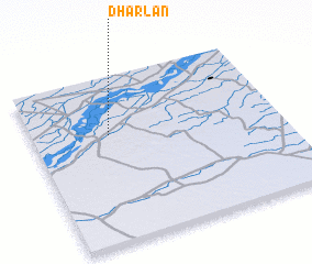 Places with similar names to Dharlān, Pakistan :: Disclaimer :: Information on this page comes without warranty of any kind |
||
|
Where is Dharlān? Elevation and coordinates ::
Latitude (lat): 29°38'55"N Longitude (lon): 72°18'45"E
Elevation (approx.): 131m (map arrows pan, magnifying glasses zoom) |
||
|
Visiting Dharlān? Hotel/Accommodation ::
Book a hotel in Dharlān Travel Guide ::
Buy a travel guide for Pakistan rental cars ::
car rental offers GPS waypoint ::
download a GPX waypoint (PoI) of Dharlān for your GPS receiver
|
||